I'm just starting using QGIS. I have run a couple of geoprocessing tasks and the results look good but I'm trying Union and am not having much success.
The main one I'm trying to do is, I have a city corporate boundary and two types of road data - road centerlines and ROW boundaries. I am trying to union the corporate boundary with each one separately, and in both cases, when I run it the resulting shapefile seems to be empty.
The original vector files (roads and corporate boundaries) are all from geodatabases and the output is shapefile.
Any assistance would be help, maybe it's already been covered elsewhere here and I just didn't see it.
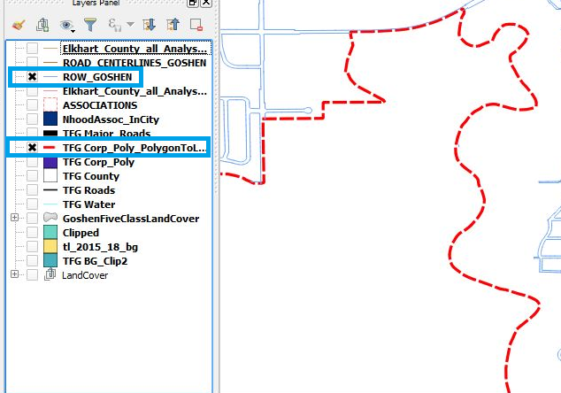
Ok, that seemed to work. See below.
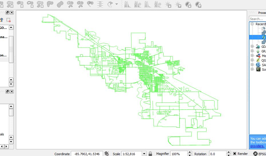
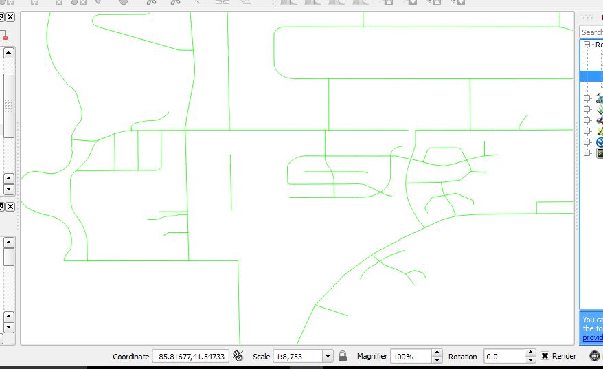
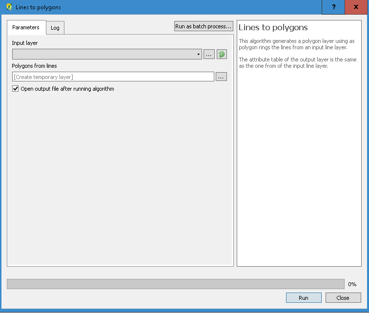
Now, my next step is I'm trying to polygonize. But I'm getting an error message. Basically what I'm trying to do is divide the city into blocks so I can assign a value to each block. Maybe I should post this as a separate topic but I'll try here. I'm not sure if I'm getting the error because of something about the lines or someting in the attribute table... Or something else. Here's a closeup of what the street centerlines look like.
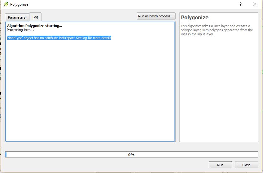
Maybe I need to clean up the lines or something, not sure. But anyway here's the error message I get when I run it.

