0

Archie's Campings offers a pretty thorough list of campsites in Europe.

Problem is, files are only country-size, so the number of waypoints is overwhelming (Here's the UK for instance).

To plan bike tours, I'd like to merge 1) a route from a GPX file, and 2) a filtered Archie's list to only keep campsites that are 5 kms from the route.

Is there a user-accessible tool that can do this, preferably Windows?

--

Edit: After importing the two GPX files through Vector > GPS > GPS Tools, here's what the screen looks like: enter image description here
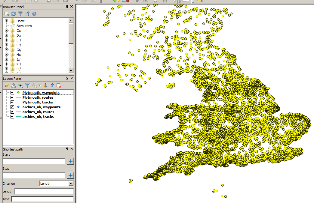
When I try merging the six items from the left through Vector > Data Management Tools > Merge vector layers, selected the layers, and hit Run, QGIS says All layers must have same geometry type!"


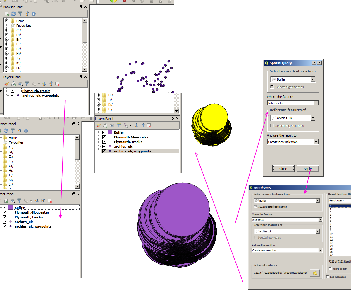
Edit: Here's what I get after 1) importing the two GPX files through Vector > GPS, 2) saving the waypoint item as an ESRI Shapefile and the track item also as an ESRI Shapefile, 3) selecting the new track item Shapefile and choosing Vector > Geoprocessing Tools > Fixed distance buffer, and 4) choosing Vector > Spatial Query > Spatial Query:

enter image description here

As a total GIS newbie, this is way above my head. I'll try to find someone where I live that I can sit with together in front of a computer.

1 Answer 1

1

I would suggesting using a GIS desktop application like QGIS:

  1. Install QGIS
  2. Add the gpx route and campsite data to QGIS (.kml, .csv, or .gpx). Right click on each waypoint layer and save as to new ESRI shapefile, then do the same for both route layers (keep the names similar to what the gps files names are so you can tell them apart). Then merge the two new waypoint shapefiles together and then merge the two new route shapefiles together.
  3. Use Vector>Geoprocessing Tools>Fixed distance buffer tool to buffer the gpx route merged shapefile by 5 kms and use the Vector>Spatial Query tool to select all buffered routes (in the merged route shapefile) that intersect the point campsites
7
  • Thanks for the help. When I try to merge the two vector layers, I get "All layers must have same geometry type!". There's not much traffic in the mailing list (osgeo-org.1560.x6.nabble.com/QGIS-User-f4125267.html): Is there a better forum where to ask?
    – Gulbahar
    Commented May 8, 2017 at 18:17
  • What two vector layers are you trying to merge?
    – artwork21
    Commented May 8, 2017 at 18:27
  • Those two GPX files: we.tl/8dn6Udm10D
    – Gulbahar
    Commented May 8, 2017 at 19:02
  • Why are you trying to merge? This is outside the scope of your original question. Are they points or lines when loaded into QGIS?
    – artwork21
    Commented May 8, 2017 at 19:09
  • Because I read somewhere that I should. If it's not needed, I'd be happy to proceed. I don't know if they're points or lines: One is a track, the other POIs. After importing the two files through the Vector > GPS menu, what should I do?
    – Gulbahar
    Commented May 8, 2017 at 19:12

Your Answer

By clicking “Post Your Answer”, you agree to our terms of service and acknowledge you have read our privacy policy.

Not the answer you're looking for? Browse other questions tagged or ask your own question.