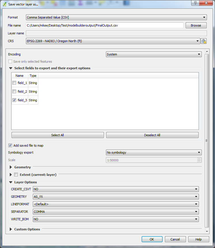
I'm building a Processing Model in QGIS that ultimately exports a points shapefile (vector layer) as a CSV in a different coordinate system than the shapefile.
I ordinarily accomplish this in the "Save Vector Layer As" window (see image below) which I access by right-clicking on the shapefile in the Layers Panel. In this window, I uncheck field_1 and field_2 for export (I do not need those fields), and I export GEOMETRY "AS_YX" (I do need coordinates in the desired coordinate system to be written to the CSV).
Can I access this "Save Vector Layer As" algorithm for use in a QGIS Processing Model?

