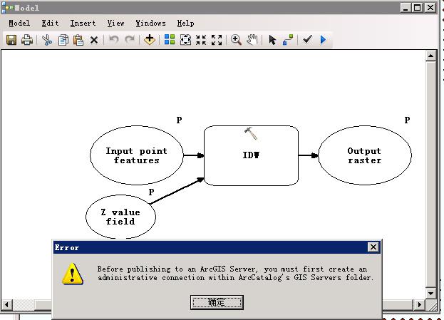
I have some point data which store as JSON.As follow:
[["Lat":"12.12","Long":"23.23","ZValue":"123"],...].
I tried to interpolate them as contour line and displayed them on my website ? I do know how to interpolate data in ArcInfo,so I tried to publish a geoprocessing task and using ArcGIS JavaScript API to generate them but it failed to published to ArcServer.
However,I search for a long time if there exits some other solution but found nothing about how to implement this.
Thanks for any suggestion!
