I have a script that download and process satellite images using pyhon/gdal and then upload them to GeoServer.
The basic process is:
gdalbuildvrt tmp.vrt file_1.tif file_2.tif ... file_n.tif
gdal_translate -of GTiff -co TILED=YES tmp.vrt outfile.tif
gdaladdo -r gauss outfile.tif 2 4 8 16 32

#then upload to geoserver
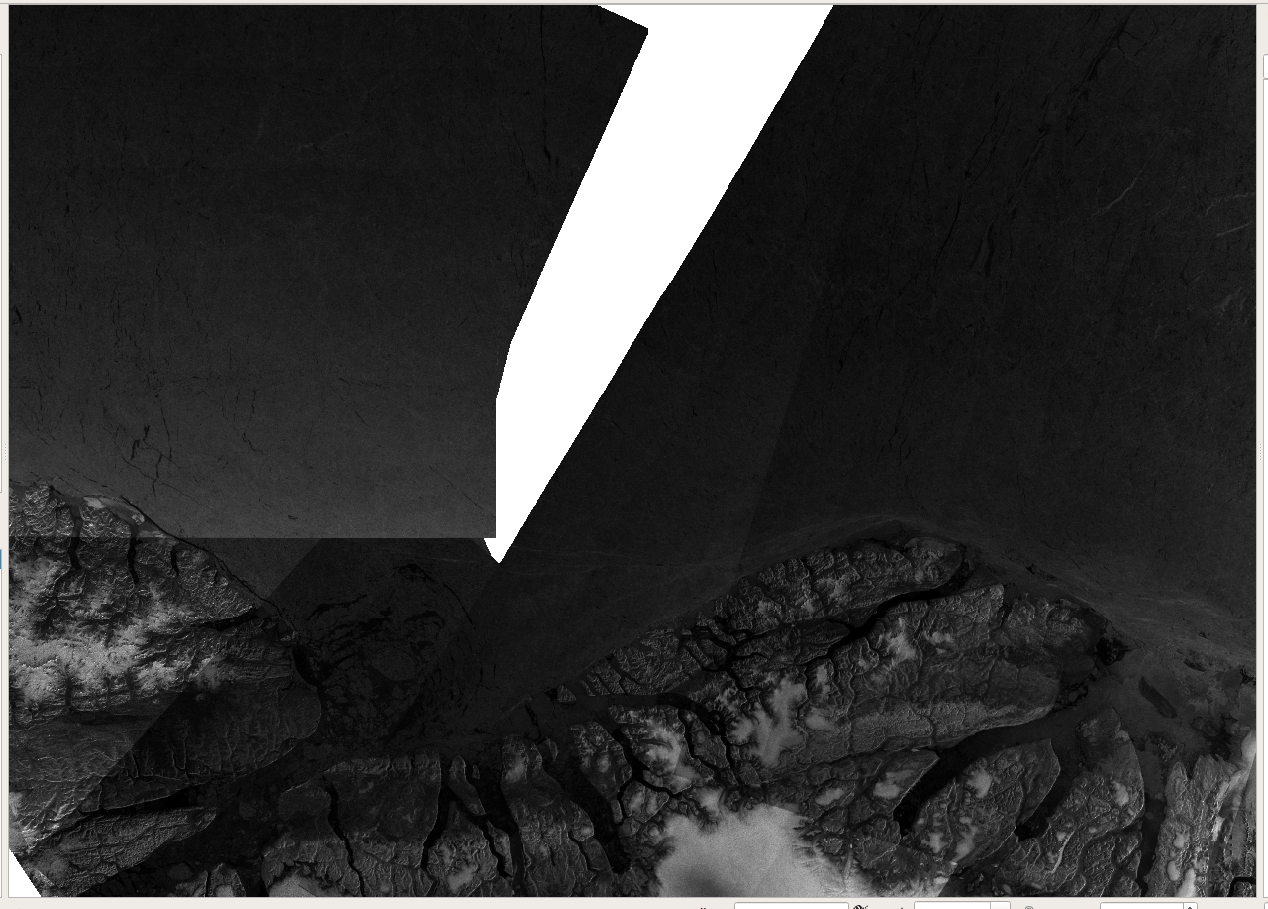
outfile.tif looks like this in QGIS:

When GeoServer feeds image tiles to my OpenLayers application I am to understand that it applies a contrast enhancement. This is initially a good thing since my images tend to be a little dark.
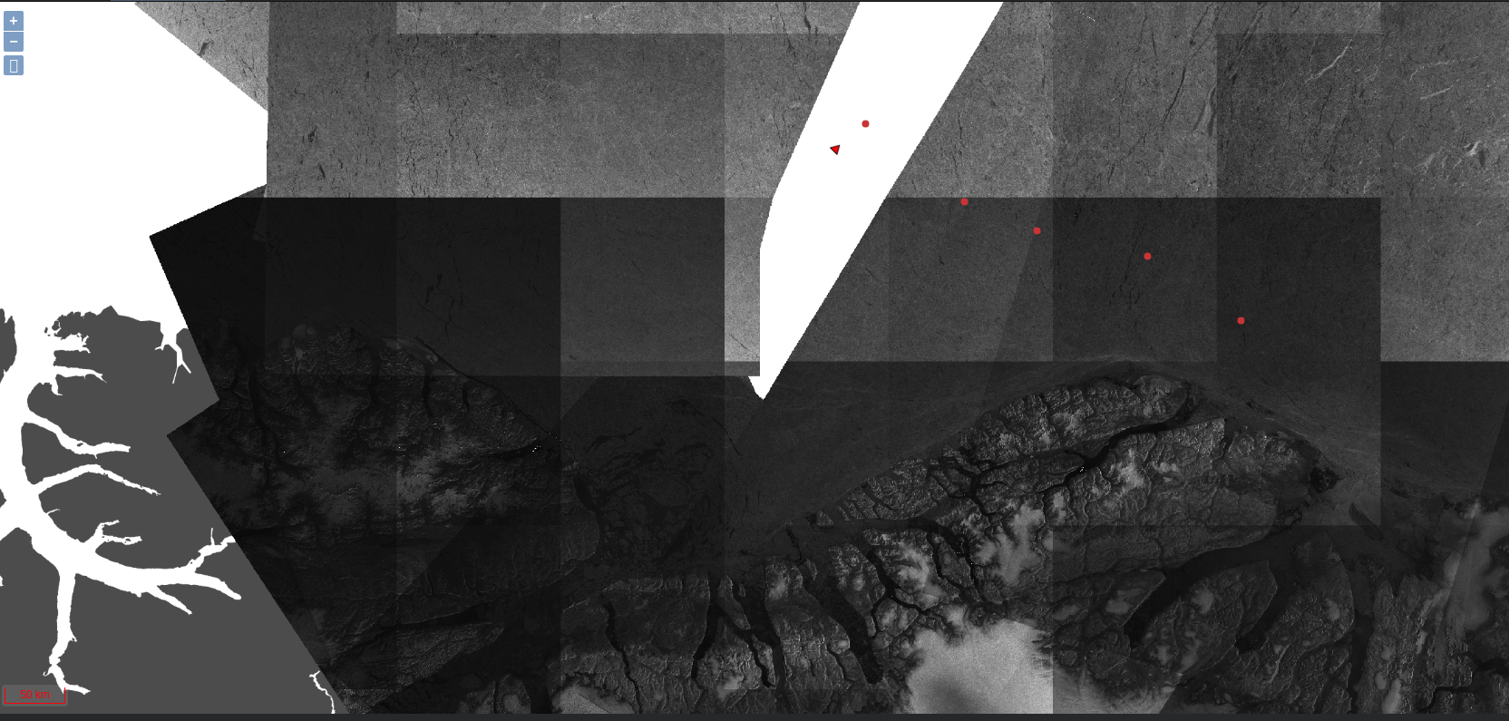
The problem is that the effect seems to be applied locally on each tile. This is how the same file looks like in OpenLayers:

I have tried to modify the used style file (SLD) in GeoServer. Changing the ContrastEnhancement property from Normalize to Histogram makes the effect even bigger.
How do I remove these "boxes" in the image?
Does someone have any ideas for what I could try?
