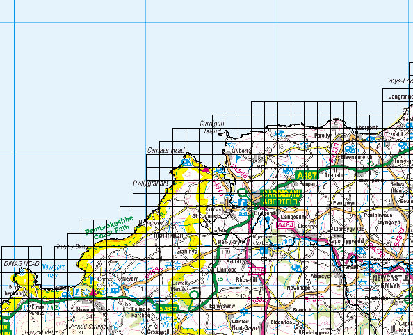
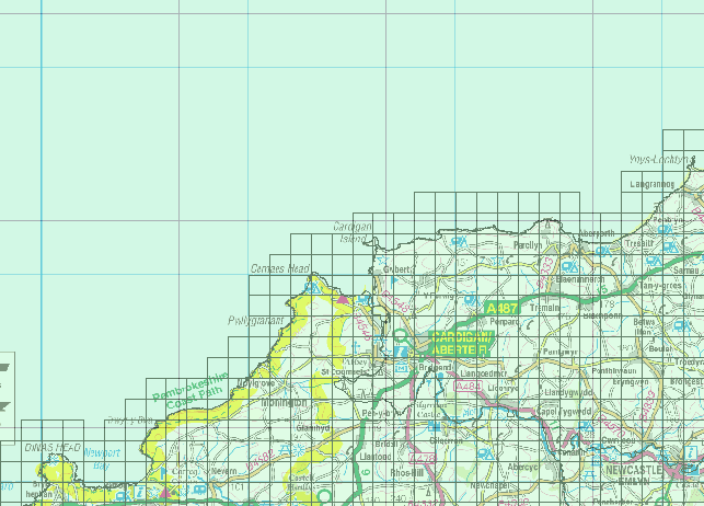
I have a pre existing layer of 1km x 1km grid squares, which is aligned with the 10km squares of the British National Grid:
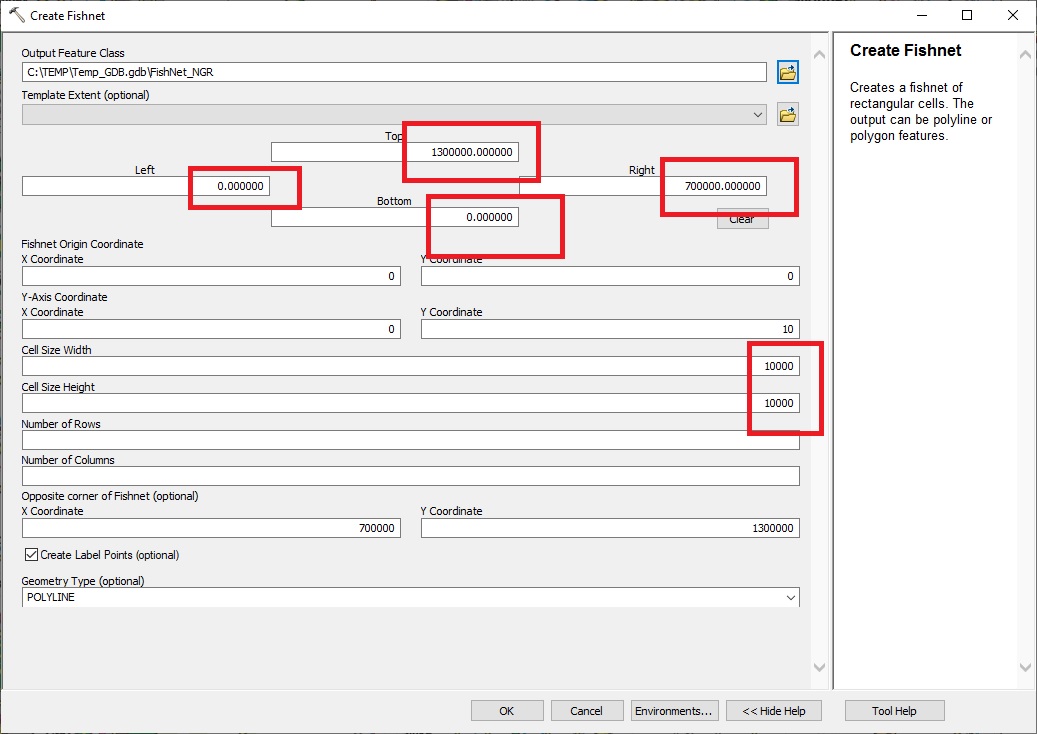
I want to create another 10km x 10km square grid on top to highlight the 10km grid lines. I have been trying to create a grid using the create fishnet tool, but I can't figure out how to align the resulting grid with my previous one. Does anyone know if there is a way to align a fishnet with a preexisting feature, or if there is any other way to achieve this aim? Basically I want the black gridlines on the green transparent grid layer below to line up with the blue gridlines on the basemap layer underneath. The projection of all the layers is British National Grid.


