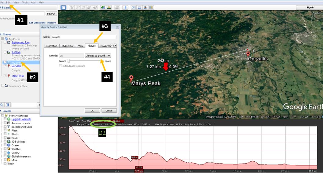
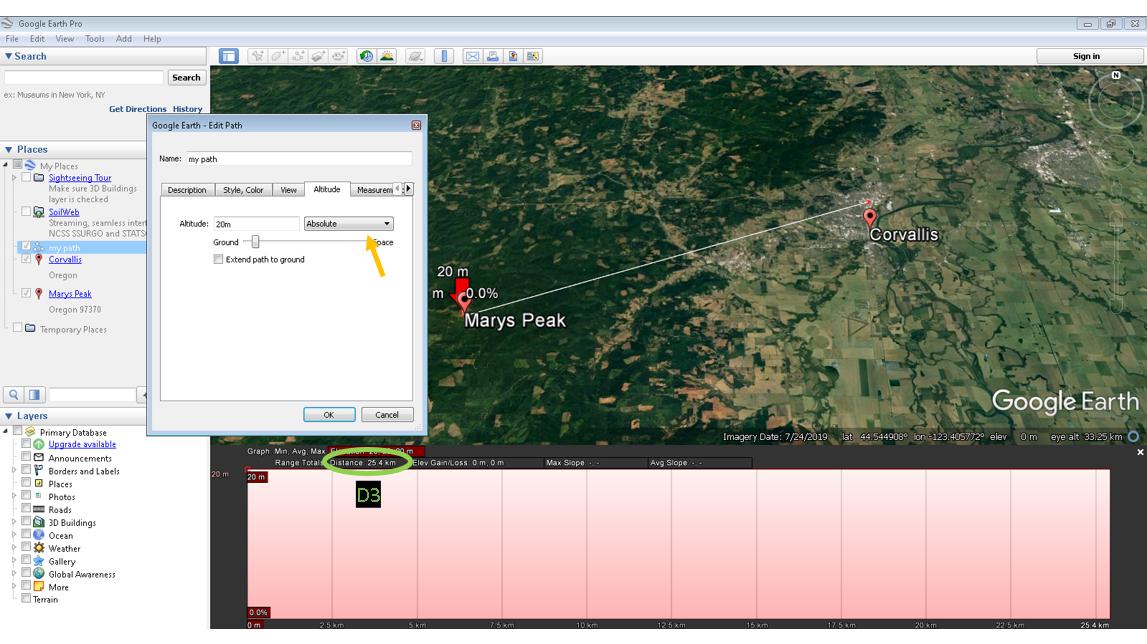
When I use the ruler tool and create a segment between two points, which one of the following is true for the calculated distance?:
- The geodesic distance calculated over a an ellipsoid
- The projection of the geodesic path of the ellipsoid over the terrain
- The 3D distance between the two points
For example in a mountain I would like to know the distance I travel in a certain path considering the ups and downs of the terrain (thus the height at each point of the line). This would mean I want the second statement to be true. Is that what Google Earth Pro calculates?
What if I want to know the distance traveled by a laser between those same coordinates (from one mountain peak to another)? Then I would like to have something like the third statement. How can I do that in Google Earth Pro?


