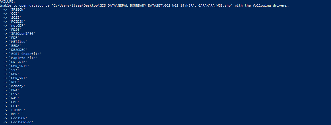
I am a starter to use command-line interface. I was looking for a way to import a shapefile into PostgreSQL using "ogr2ogr". I was able to do this for point shapefile using code:
ogr2ogr -f "POSTGRESQL" PG:"host=localhost user=postgres dbname=postgres password=12345" "C:\Users\itsaa\Desktop\GIS DATA\WGS\sett.shp"
But using the same code for Multipolygon feature gave me an error message

How can I get through this?

ogrinfo "C:\Users\itsaa\Desktop\GIS DATA\WGS\your_polygon_shape.shp". Does it find your shapefile? I would not recommend to use spaces in the names of files and directories but with double quotes they should work. Also "Desctop" may not be the best choice for data, try something like C:\Users\itsaa\data instead, or just c:\data.