3

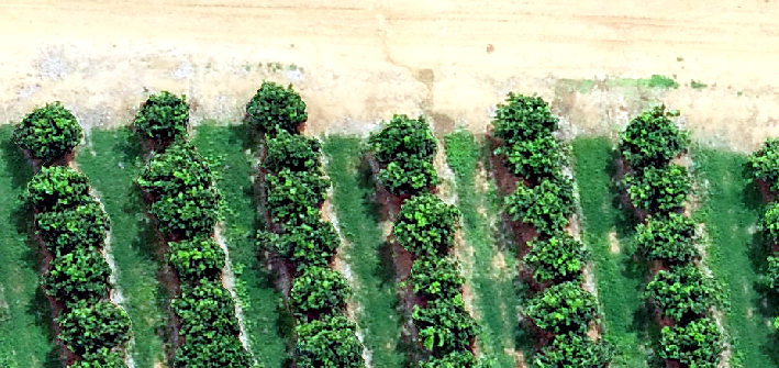
I have drone imagery which was generated in Agisoft. From the imagery a DEM was generated and exported.

I would like to know how do I get the Digital Terrain Model from this DEM? as I currently have the Digital Surface Model?

The method I have tried doing was creating points at different locations in between the trees(on the ground) and interpolating the points to create a DTM by subtracting the DSM and DTM (DSM-DTM= tree height) from each other.

However the results are not consistent enough to achieve tree heights accurately.

I do have ArcGIS Pro.

ortho

DEM

1
  • 3
    I don't know anything about Agisoft, but did it ceate a point cloud? And if so did it categorize the points? And if so, did the category values include "bare earth"? If the answer to all these question is yes, then you can create a DTM from the point cloud that may be more "consistent" than your manually-derived DTM.
    – Stu Smith
    Commented Mar 31, 2020 at 17:16

2 Answers 2

1

I am currently doing a research on how to create a more precise DTM to calculate plant height for plants under 2 meters (needs to be very precise). There are 3 methods to create a DTM:

  • Collecting data when there is only ground. This will be your DTM (can be done for crops since they grow seasonal, but no in the case of trees).
  • Interpolate points from the ground.
  • Use automatic classification. I have use automatic creation of DTM in PIX4DMapper and it has resulted in almost the same accuracy or even better than the DTM from colecting a dataset of only ground. The reason for this is you do not have the overlaping inacuracy between 2 datasets (even when using GCPs or RTK or PPK, there is always some error).

Drone suggestions to improve DTM:

  • High side & front overlap (80-90)
  • Low GSD (fly lower and also with a high resolution camera)
  • Make sure drone is updated and calibrated (IMU, Compass) before each flight
  • If using GCPs, make sure there is high image overlap where the GCPs are. If they are in the border, increase the flight mission margin
0

Just subtract the DEM from the DSM. As you said, DSM - DEM = CHM (DTM). No need to create points, just use the rasters.

You can do this in ArcGIS Pro using the raster calculator: DSM - DEM

https://www.earthdatascience.org/courses/use-data-open-source-python/data-stories/what-is-lidar-data/lidar-chm-dem-dsm/

1
  • No, They clearly state they are interested in tree height model.
    – Pdavis327
    Commented Mar 14, 2023 at 16:43

Your Answer

By clicking “Post Your Answer”, you agree to our terms of service and acknowledge you have read our privacy policy.

Not the answer you're looking for? Browse other questions tagged or ask your own question.