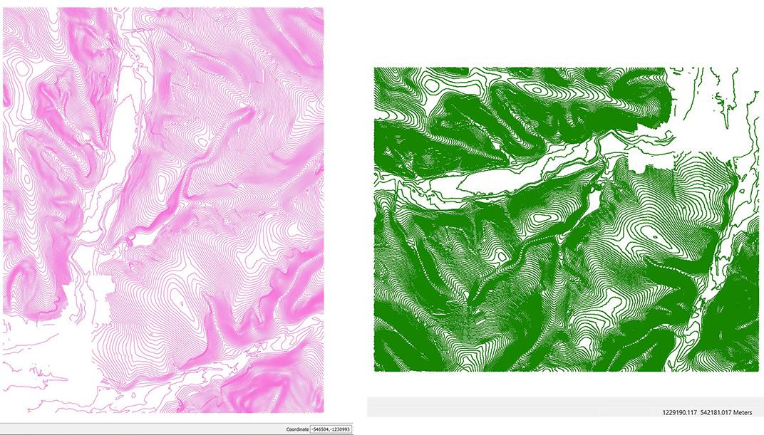
I've created a shapefile layer in QGIS with contours in national coordinate system - 5514. Everything seems okay but when I add the layer to ArcMap, the whole layer is rotated and placed in totally different area. The problem is that the same point in QGIS has coordinates -540933,-1231037 and in ArcMap numbers are swapped and without minuses to 1231037, 540933. I don't even know how this can happen and what to do with that. Have anybody dealt with the same problem?
1 Answer
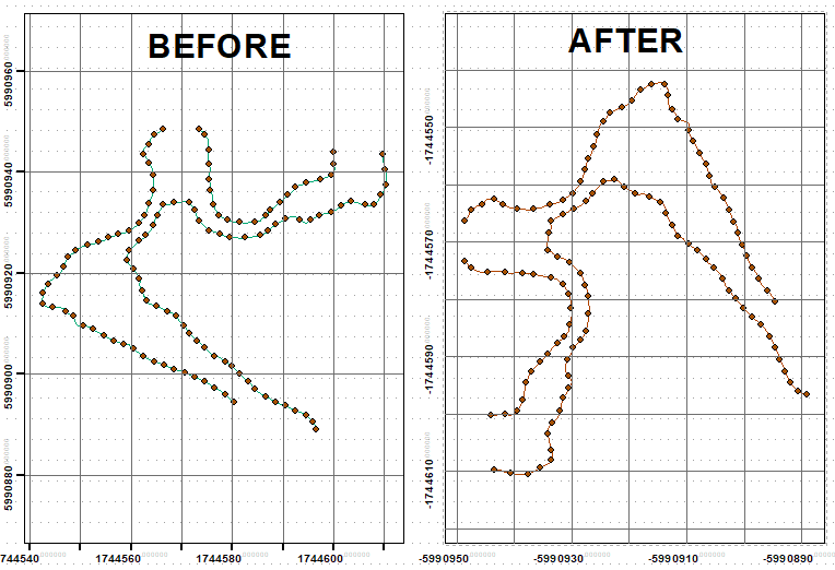
Fortunately you are not dealing with polygons, so solution is simple. Extract vertices of your lines and clone them:
FeatureVerticesToPoints("Contour_DEM_2016", "C:/SCRATCH/all_points.shp","ALL")
Copy("C:/SCRATCH/all_points.shp", "C:/SCRATCH/all_points_Copy.shp", "ShapeFile")
Run this field calculator expression on Shape field of the cloned points dataset, with Python parser:
arcpy.Point(- !Shape!.firstPoint.Y,- !Shape!.firstPoint.X)
and convert points to lines:
PointsToLine("all_points_Copy", "C:/SCRATCH/rotated.shp", "ORIG_FID")
Note: Rotate/Flip points using field calculator might take ages. Transfer line attributes to new lines using join between ORIG_FID and FID fields.


