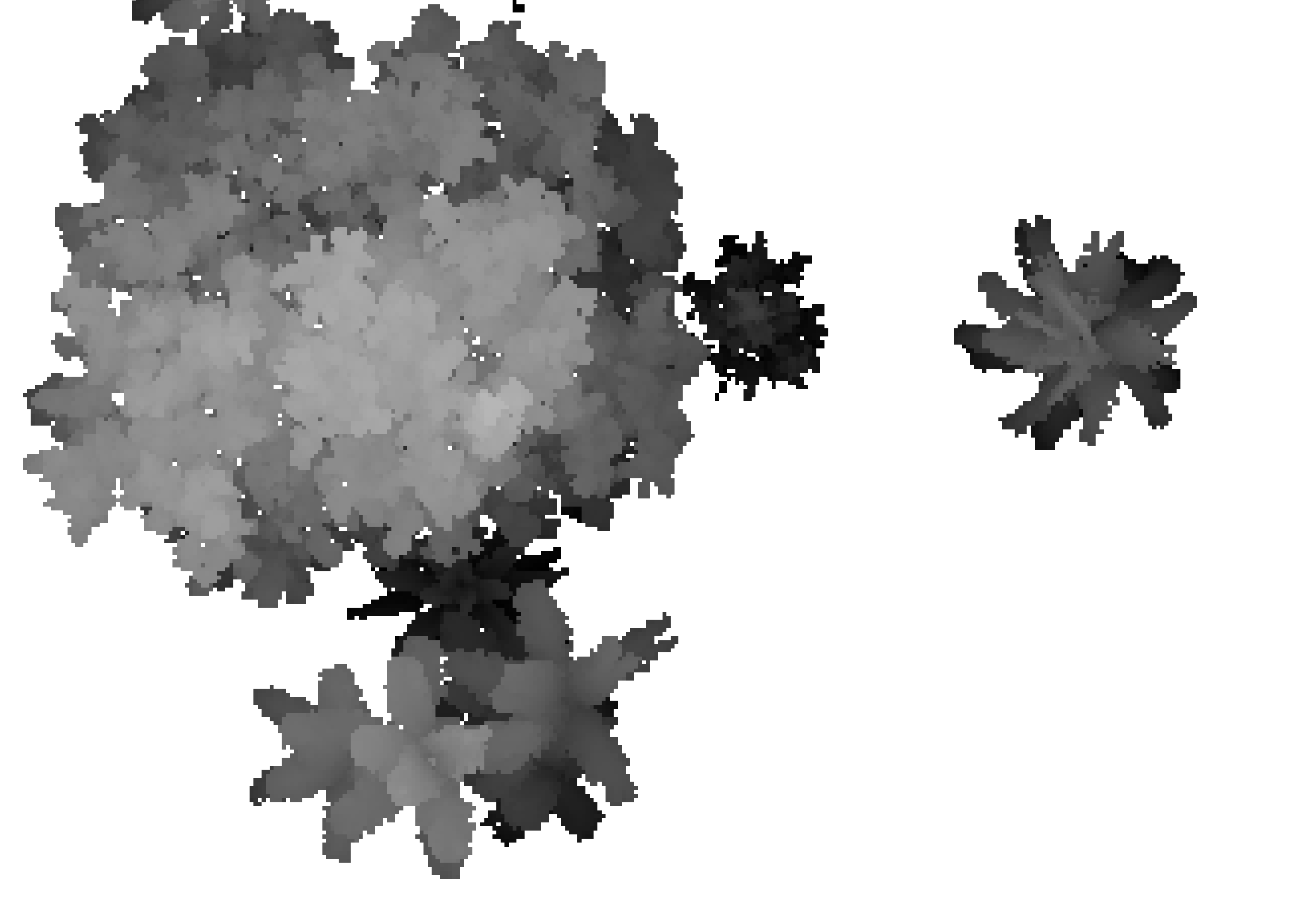
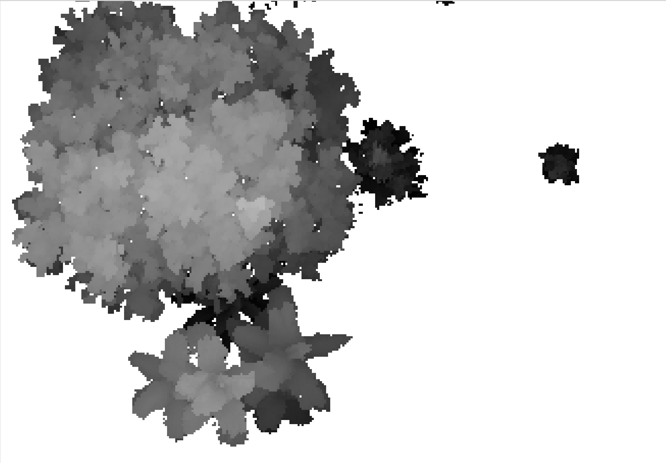
I am using classified LiDAR to create a canopy height model (CHM) for two LiDAR data sets over time. When I create the CHM I use a filter, -keep_class 5 so the output raster exactly outlines the trees of that particular lidar collection.
The boundary of the vegetation changes over time as it grows, so in the second LiDAR data set of the time series study the vegetation outline is wider.
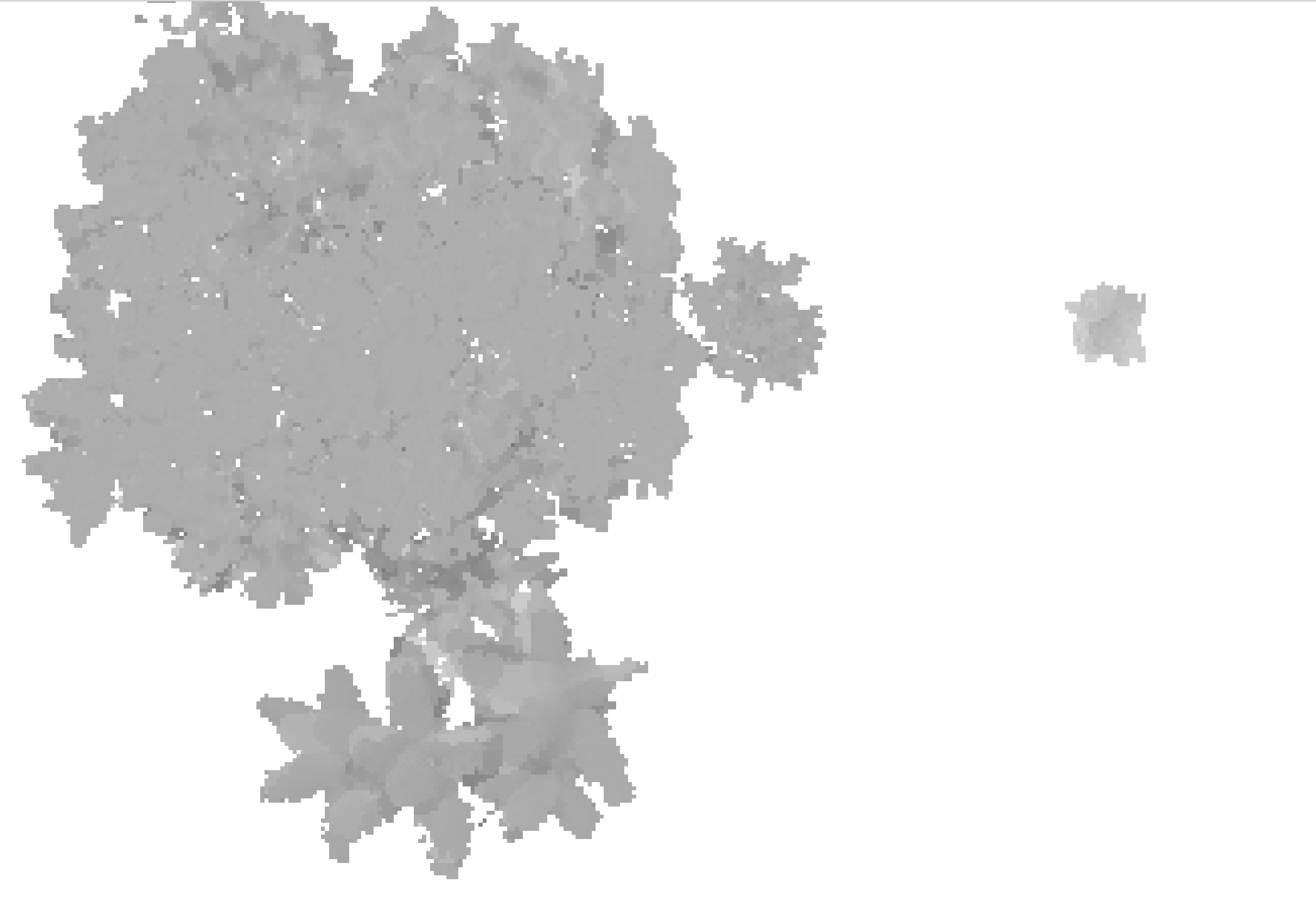
When I difference the two, the difference only considers the smallest boundary. Why is this? I have done differencing in R and QGIS.
Ideally we want to capture the way the tree got bigger over time, but this differencing method (overlay function in R as described here and the raster calculator of QGIS miss this.
If possible I thought of filling in the voids with a USGS DEM, but I am not sure how to do that or if that is the optimal solution to this issue.
Example below:


