0

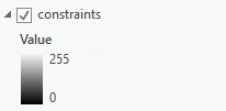
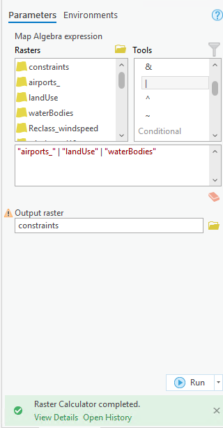
I want to combine 3 rasters (land use, water bodies and airports) into on raster with only two values 0 and 1 where the places of land use, wetlands and airports are = 0, otherwise = 1 I used raster calculator with a simple expression using boolean OR | but I get an output raster with a scale from 0 to 255 and it's not appearing on the map. "landUse" | "waterBodies" | "airports_" I'm trying to create a constraint map where these places are not suitable and others are suitable.

enter image description here

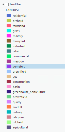
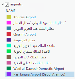
Edit: These are the values of the three rasters

enter image description here enter image description here enter image description here enter image description here

3
  • You need to give more detail in your question. What are the values in your 3 input rasters and show how you are running the calculator tool.
    – Hornbydd
    Commented Jul 25, 2022 at 11:44
  • Regarding the calculator tool, I used the same expression above and then pressed Run (added a picture of it)
    – Lama S
    Commented Jul 25, 2022 at 14:16
  • The layers are feature classes but I converted them to rasters
    – Lama S
    Commented Jul 25, 2022 at 14:47

1 Answer 1

0

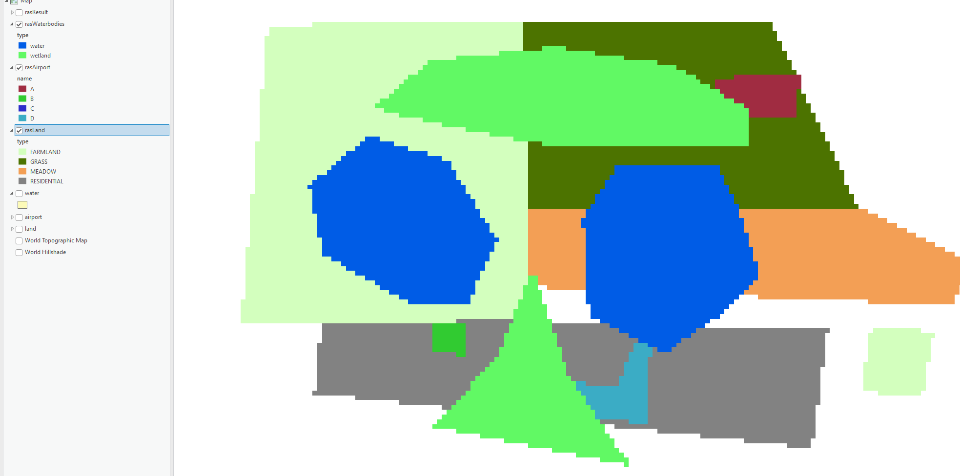
I created 3 polygon layers and faked some overlapping data with various classes. I then converted these to raster datasets (stored in file geodatabase) and used the class field as the value field in the polygon to raster tool. This created the 3 rasters, they all came out as 4-bit rasters.

Inputs

Rasters

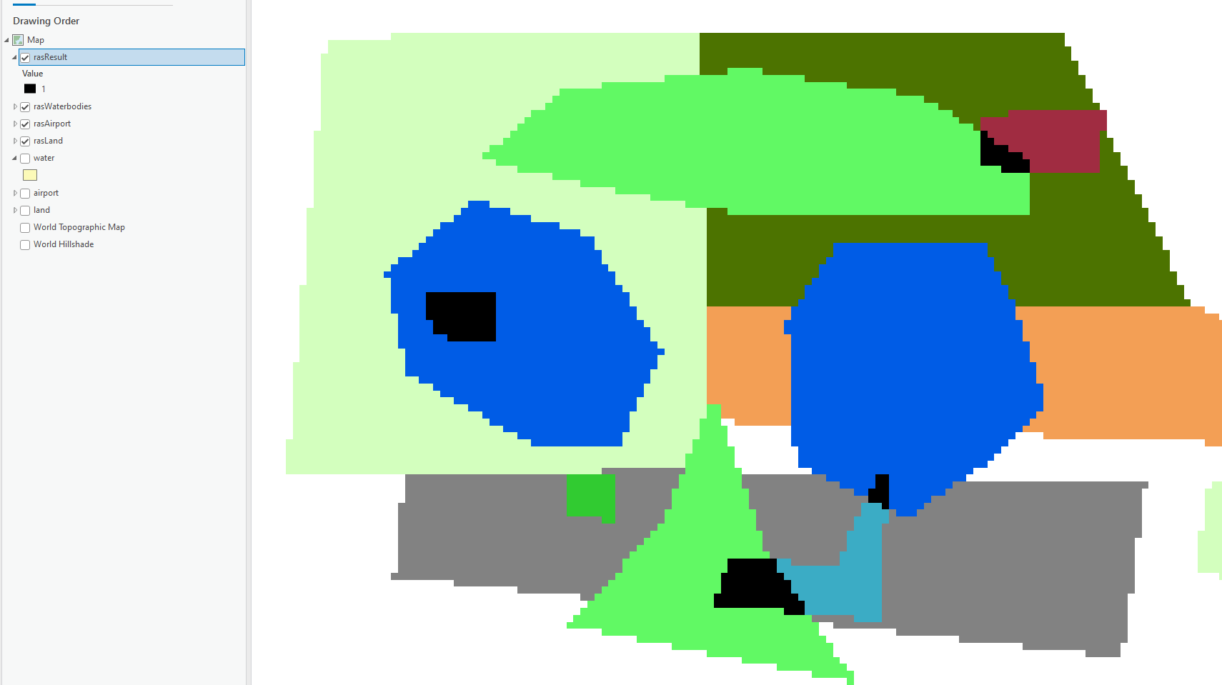
I ran the Raster calculator exactly as you did and I get the expected result (black pixels):

Results

So the workflow worked for me so I can only deduce something is odd about your input rasters?

Your Answer

By clicking “Post Your Answer”, you agree to our terms of service and acknowledge you have read our privacy policy.

Not the answer you're looking for? Browse other questions tagged or ask your own question.