1

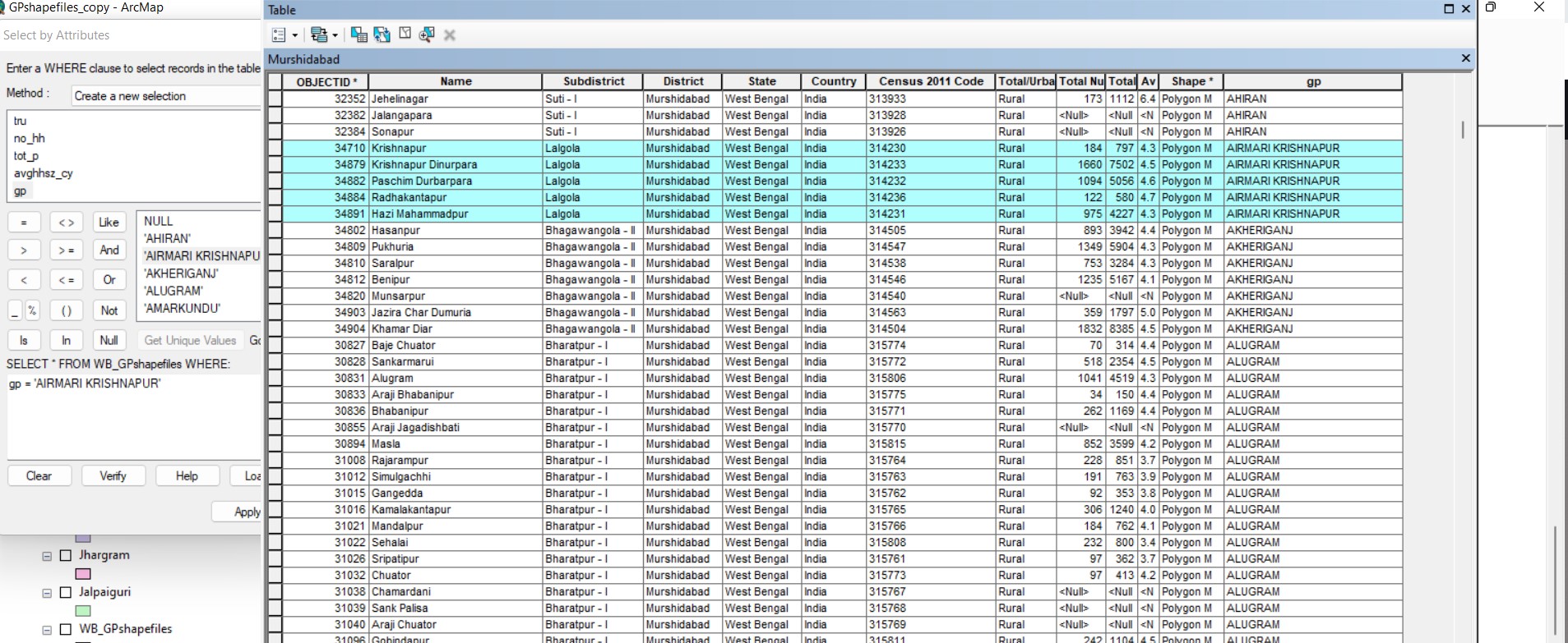
I had a village level shapefile. I selected villages using the "select by attribute" function to group them into electoral units (labelled as GP in attribute table)

image of my dataset

I wanted to use the values in the gp column to make gp level shapefiles. I therefore used the "Split By Attribute" function to transform unique values in the GP column into shapefiles.

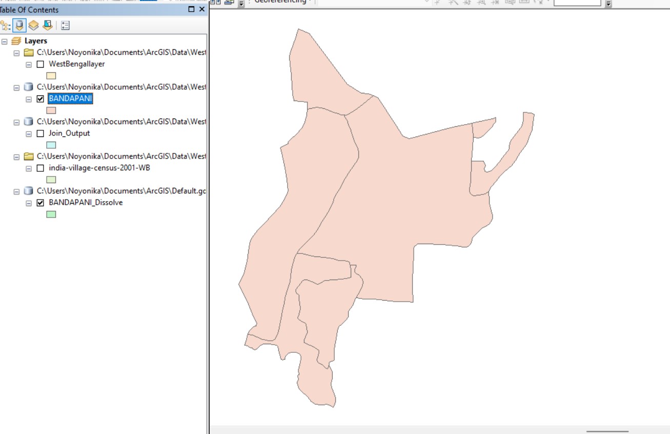
However, I can still see the boundaries of the individual villages and the attribute column still has village level information.

village level boundaries still present village level attributes still present

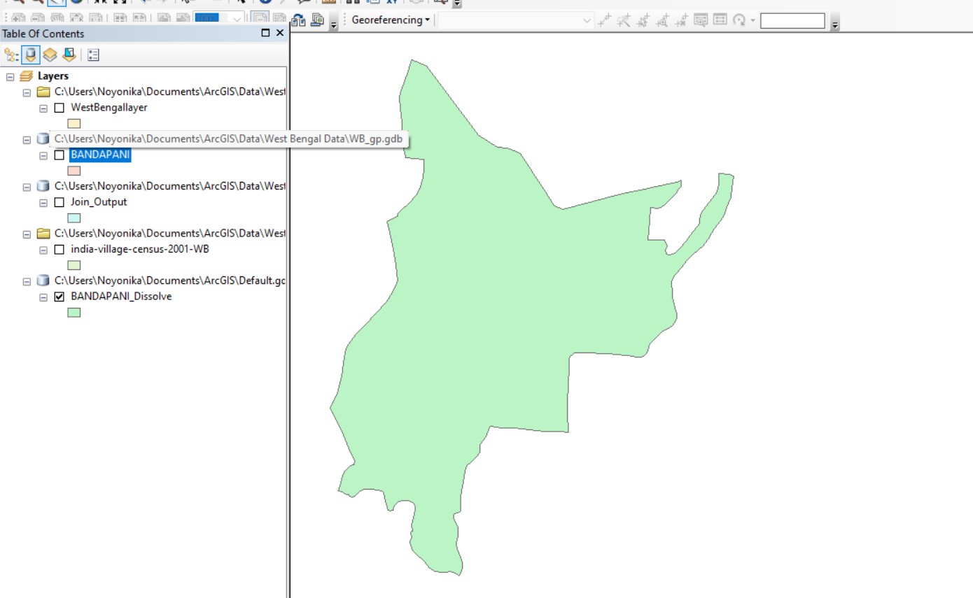
I used the dissolve function to remove the village level boundaries and I was able to get the average of other attributes as well, which is what I want.

desired output ideal attribute table

Can this process be done to create multiple dissolved polygons at once without using Python (which I am unfamiliar with)?

I have a total of 4000 gps and it would take a long time if I manually had to dissolve the boundaries one at a time.

2 Answers 2

1

Yes, after you finish attributing your village level shapefile you could use the dissolve tool to dissolve the village level shapefile based on the values in that GP column. There would be no need to use the Split By Attribute tool first.

Here is a link to the documentation for the Dissolve tool. See the dissolve field parameter.

0

Highlight the polygons that you want to dissolve using the select feature tool. Right click to get the option of Dissolve. Select Dissolve. From there, all of the internal boundaries disappear.

Your Answer

By clicking “Post Your Answer”, you agree to our terms of service and acknowledge you have read our privacy policy.

Not the answer you're looking for? Browse other questions tagged or ask your own question.