1

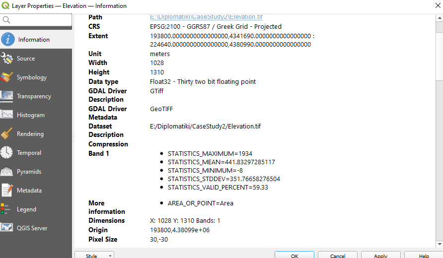
I have a CSV file with xcoord,ycoord and pixel value from DEM. After I import it in QGIS, I take this table. enter image description here
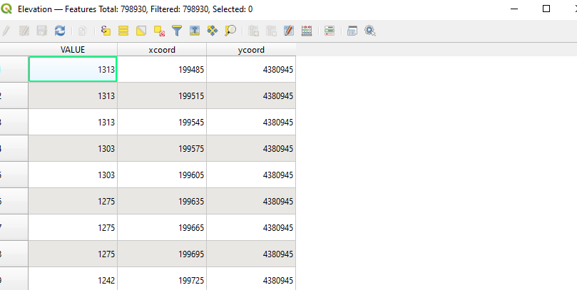
enter image description here

I want to make a raster from this point layer. I tried rasterized (vector to raster), I put exactly the dimensions I want (1028x1310,30x30, taken from masked DEM) but raster cannot be created. I also tried with grid but no result. What is my mistake?

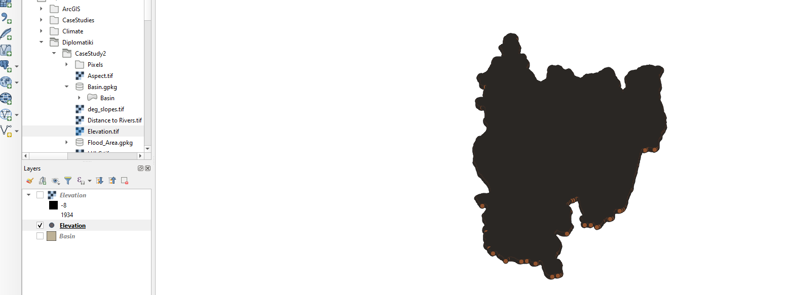
enter image description here

1 Answer 1

2

You need to use an interpolation tool to convert your points to a surface. Here is a tutorial on interpolation that may help you get started. Here is a link to the interpolation tools available in QGIS.

1
  • That worked, thanks you very much .
    – Kostas Pl.
    Commented Jul 27, 2022 at 19:06

Your Answer

By clicking “Post Your Answer”, you agree to our terms of service and acknowledge you have read our privacy policy.

Not the answer you're looking for? Browse other questions tagged or ask your own question.