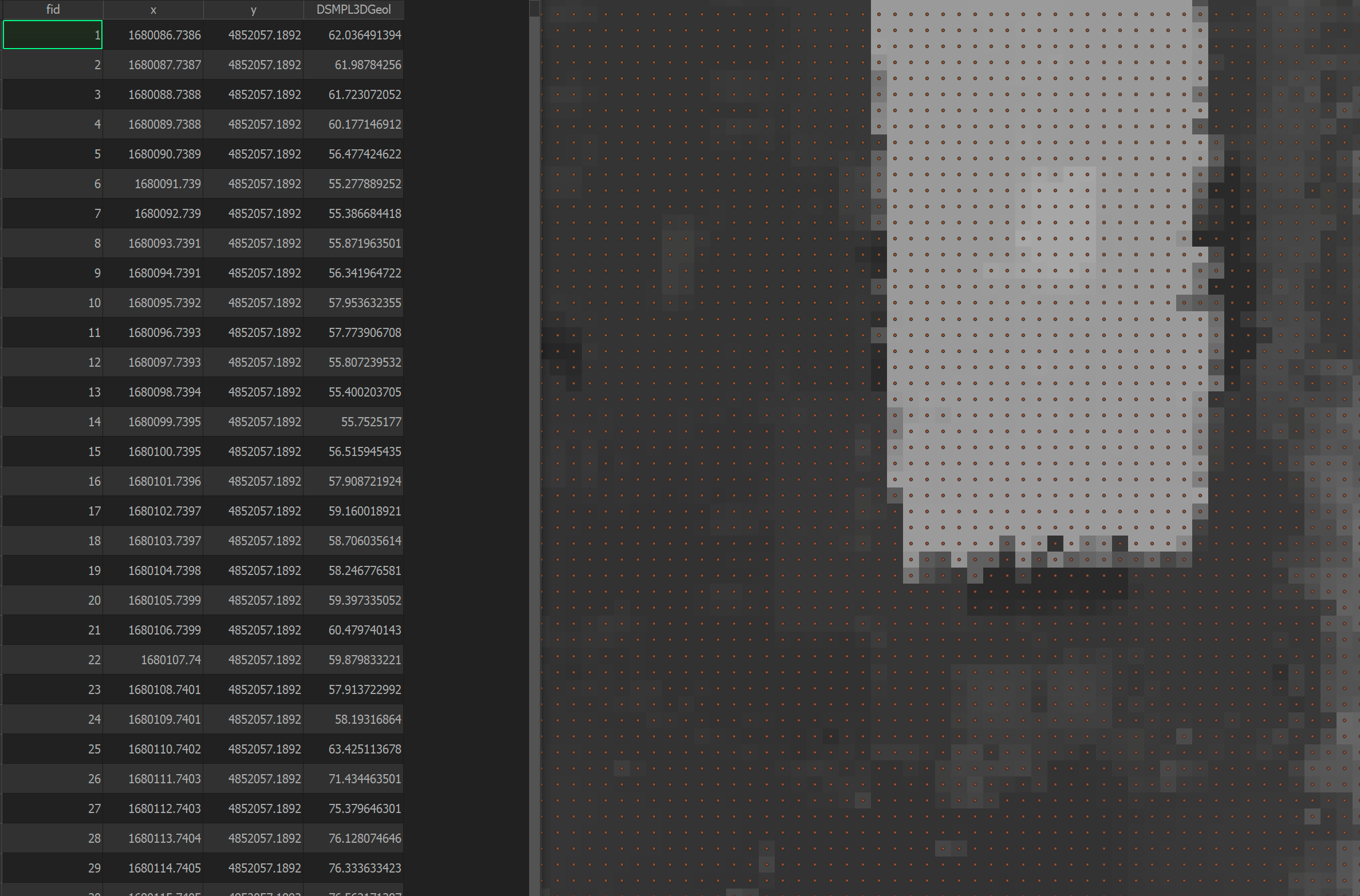
I want to export a 800k points, which correspond to a DEM (terrain elevation) to Rhino.
Currently, I tried to export a CSV with X,Y,Z coordinates based on the point attributes, however, there seems to be an interpretation problem with the CRS during the import/export.

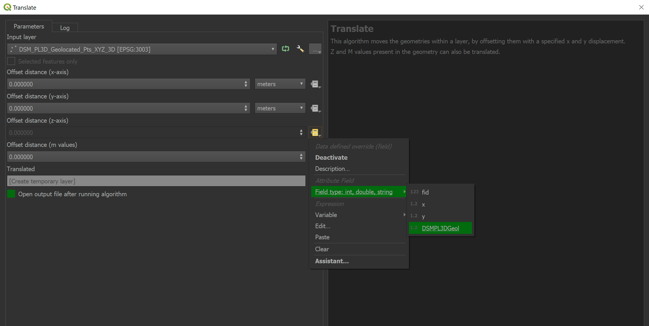
So now I want to move the points to their respective Z coordinate (which I got from the Saga "Add raster value to points" processing tool). How do I physically move the points? I tried the "Translate" processing algorithm, but that doesn't seem to move the points physically.

