I am working on QGIS 3.26.3-Buenos Aires on Windows 10 and just realised that it has two different raster calculators. I believe they are both from the standard version, no plug-in. They have different UI and give different results. Why is it the case ?
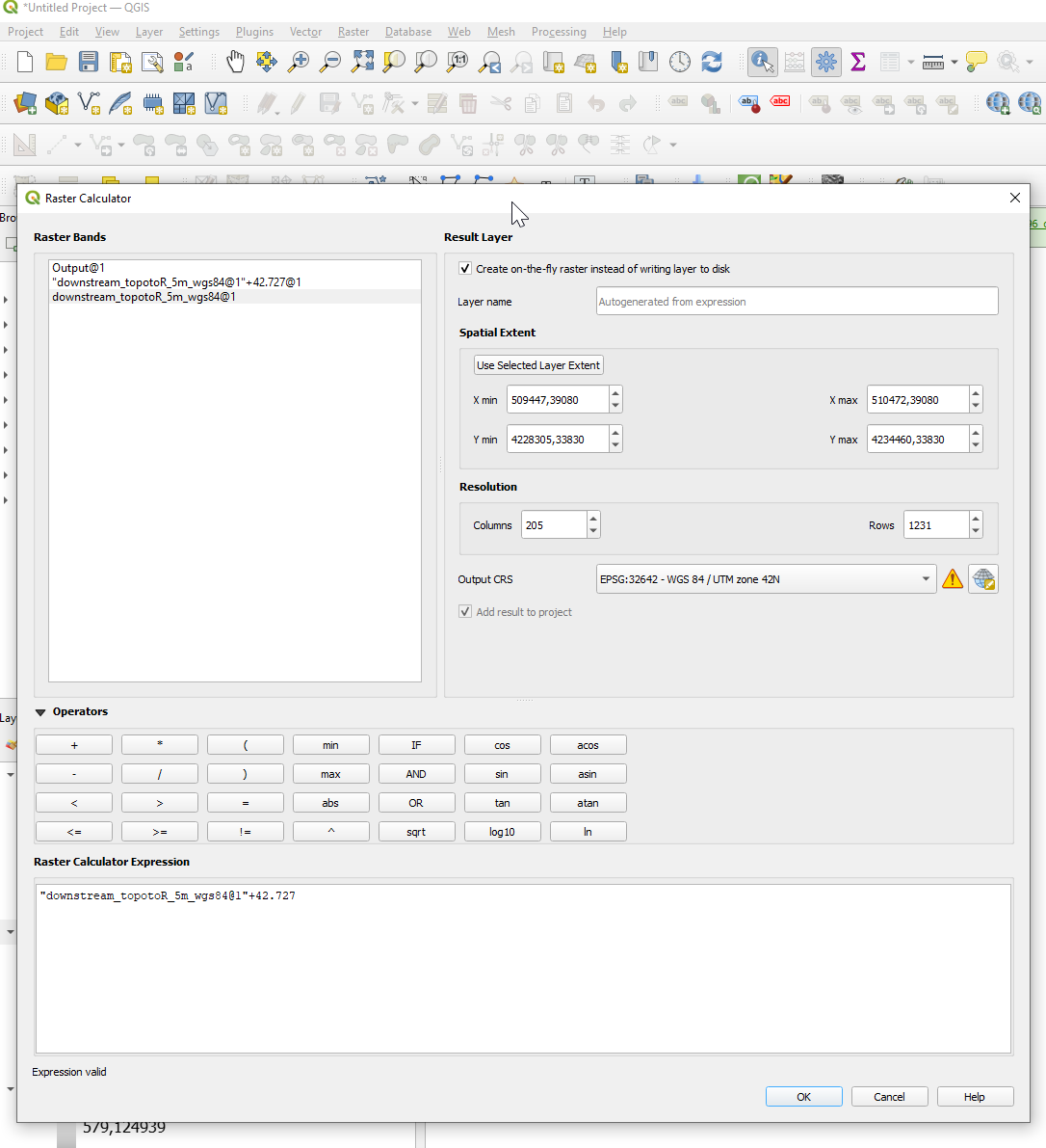
The first raster calculator (1) is accessible via the Menu > Raster > Raster Calculator:
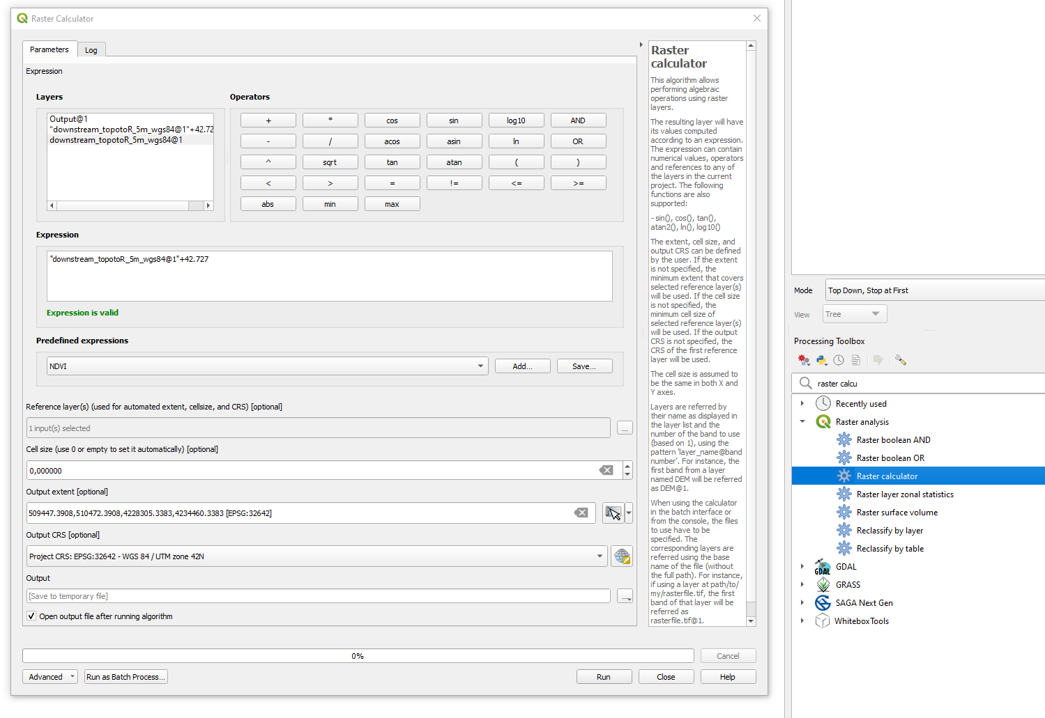
I found the other one (2) via the toolbox, Raster Analysis > Raster Calculator:
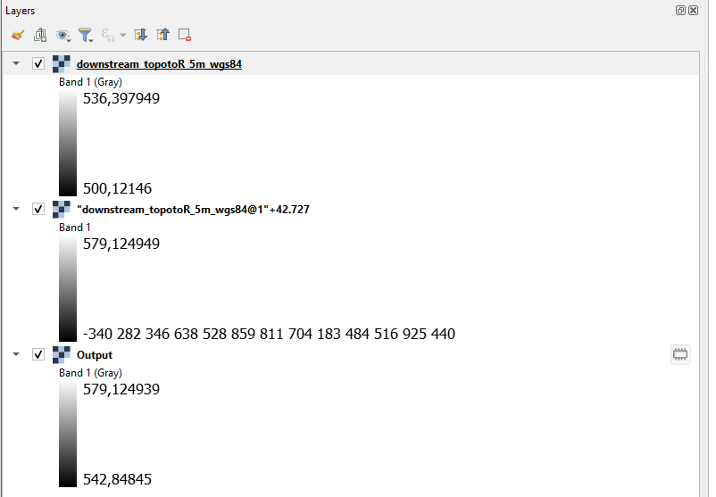
I used both calculator to perform a simple addition on the same layer, but the results are different! See image below. "downstream_topotoR_5m_wgs84@1"+42.727 is from the menu calculator (1) and Output is from the toolbox calculator (2).
I noticed that the original raster file I am working with is Float32 type with -3.40282e+38 as No-Data. So is Output, but "downstream_topotoR_5m_wgs84@1"+42.727 is Float64 and has n-a as No_Data. This is probably where the difference is but I do not understand how this affects the data. Also, I didn't see any options for that in any of the raster calculators.


