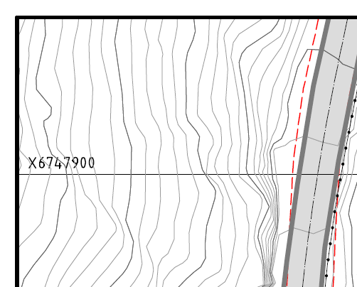
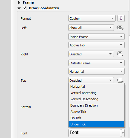
I am using QGIS (v3.36.1) to make a map for planning purposes. For the layout, I am looking at a map made in some kind of CAD software. It has labels on the gridlines inside the border, which I can easily do in QGIS, but the labels are put besides the gridlines, which I cannot see any way to do in QGIS. Have I overlooked something or should I make this a feature request?
This is from the map I am using as a template:
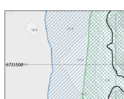
This is how I get it in QGIS (the maps are from different areas):
(I do not need any advice on how to use the extremely ugly pen plotter font :D )


