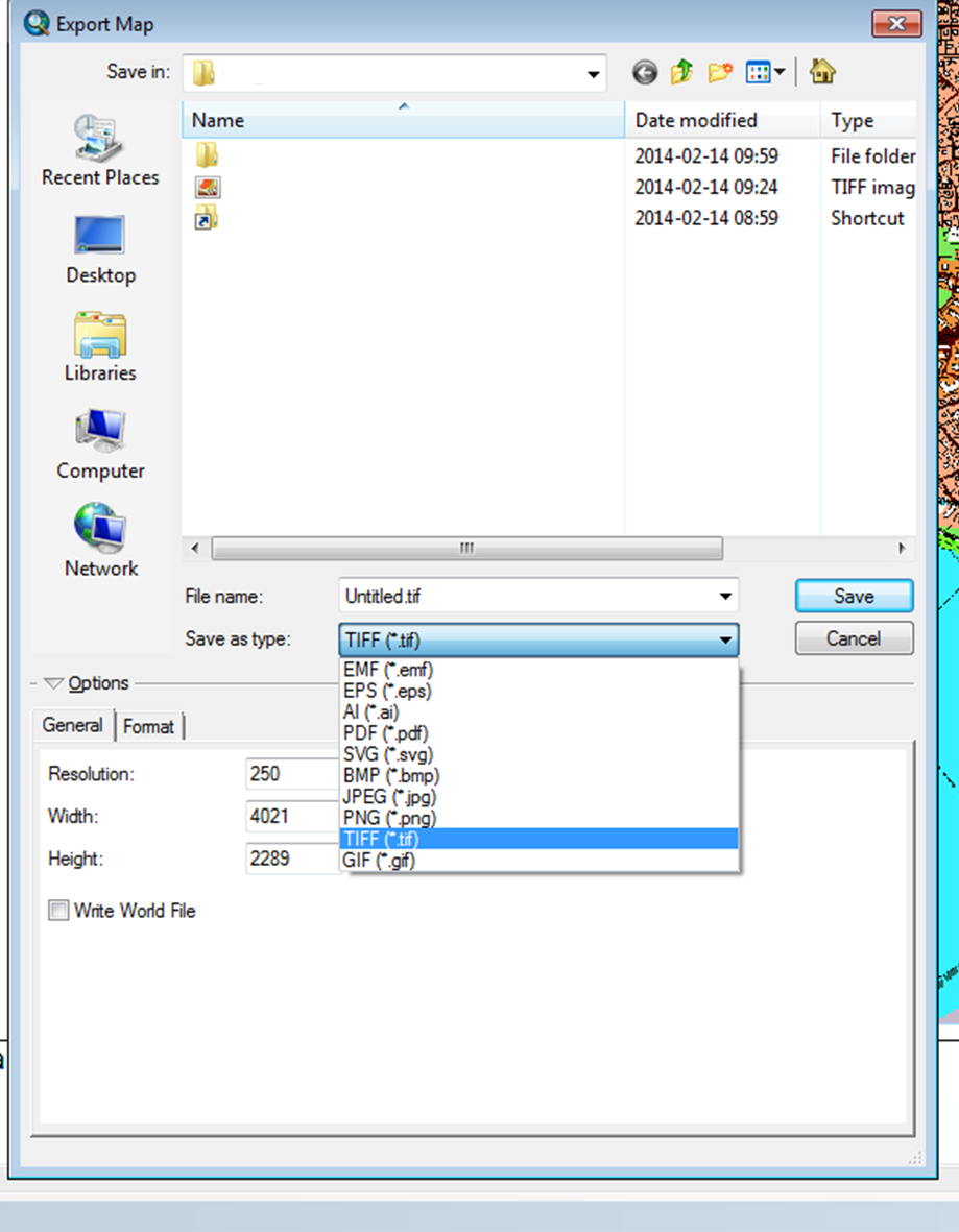
I try to export my map (layout or data view doesn't really matter) to a georeferenced tiff-file (geotiff). However, this presumably easy task is proving rather difficult to accomplish.
I first tried the code from this question:
import arcpy.mapping
mxd = arcpy.mapping.MapDocument("CURRENT")
arcpy.mapping.ListDataFrames(mxd)
arcpy.mapping.ExportToTIFF(mxd,r"D:\out2.tif","PAGE_LAYOUT",640,480,96)
All is good, a tif file is exported. But for some reason doesn't it contain any coordinates.
Some further research revealed this ArcGIS help page with a very detailed workflow. But it refers to an option that is not available in my export window:
4, Choose Layout GeoTIFF (*.tif) from the Save as type drop-down list.

What am I missing here? Do I need another extension to create geotiffs?
