I am trying to map flight paths and compare historic paths with current ones (so I later need to perform some calculations as distances between them). For this task I am using QGIS on OSX 10.9.1
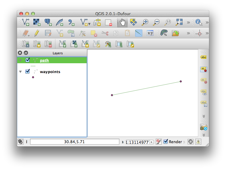
As an input, I have the waypoints of every path that I want to connect linear to a line (see picture).

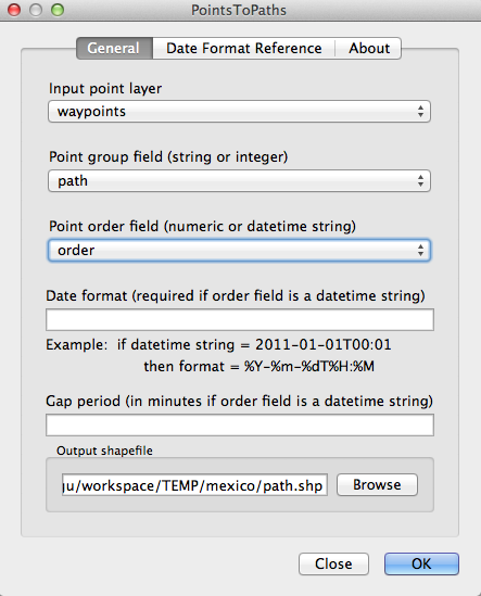
When using the “add delimited text layer” function, I can map the waypoint. However here I am stuck. I already tied the points to path plugin, but I can´t see any line in my map.
I read that it might be possible by transforming the points into a multilinestring in WKT format. Unfortunately, I never worked with WKT files and do not even know how to create them. Also, there is a really long list of waypoints in the actual sample.
All the work should not be done in a “dirty” way (just draw the line), since there are some calculations about distances (e.g. shortest distance between paths, etc) to be performed at the end.


