5

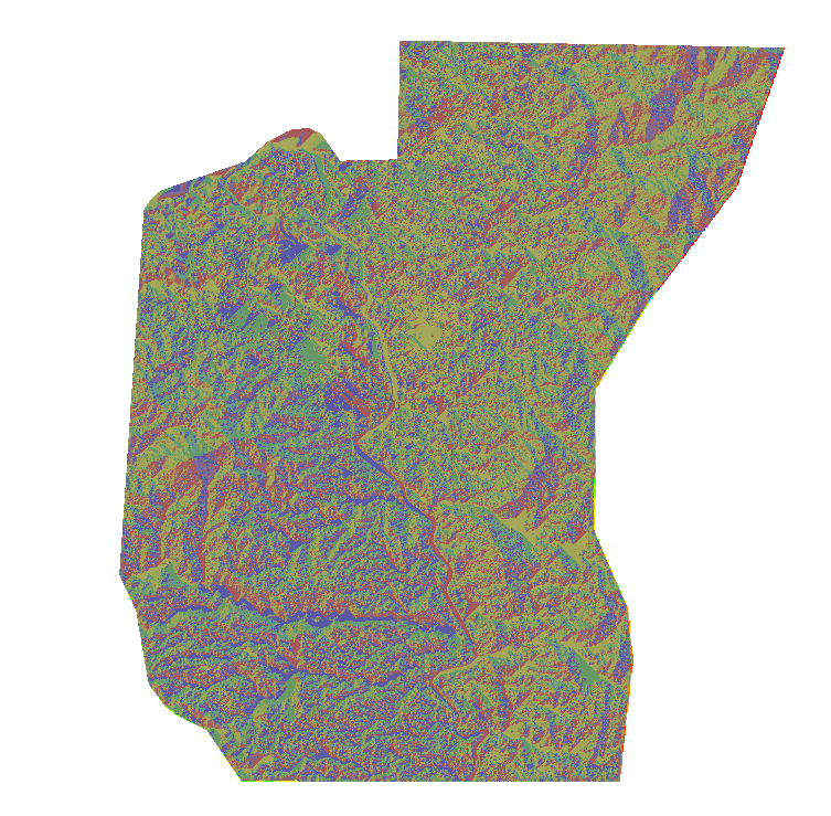
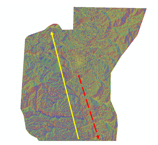
I am trying to generate a hydrologic model and I can not really proceed on the next processes. I have this problem on generating flow direction. I have already executed fill sinks and the next is flow direction of the grid. However, the generated flow direction grid is not the actual flow of the river. it should be flowing from the highest elevation to the lowest, right? The river should flow out towards the sea, but the direction of the flow is the opposite.

So I was thinking what could be instances that could affect why did this happen. I figure out people from this community could be of help to me.

I am using ArcMap 10.1.

Here are my screenshots:

fill sinks fill sinks
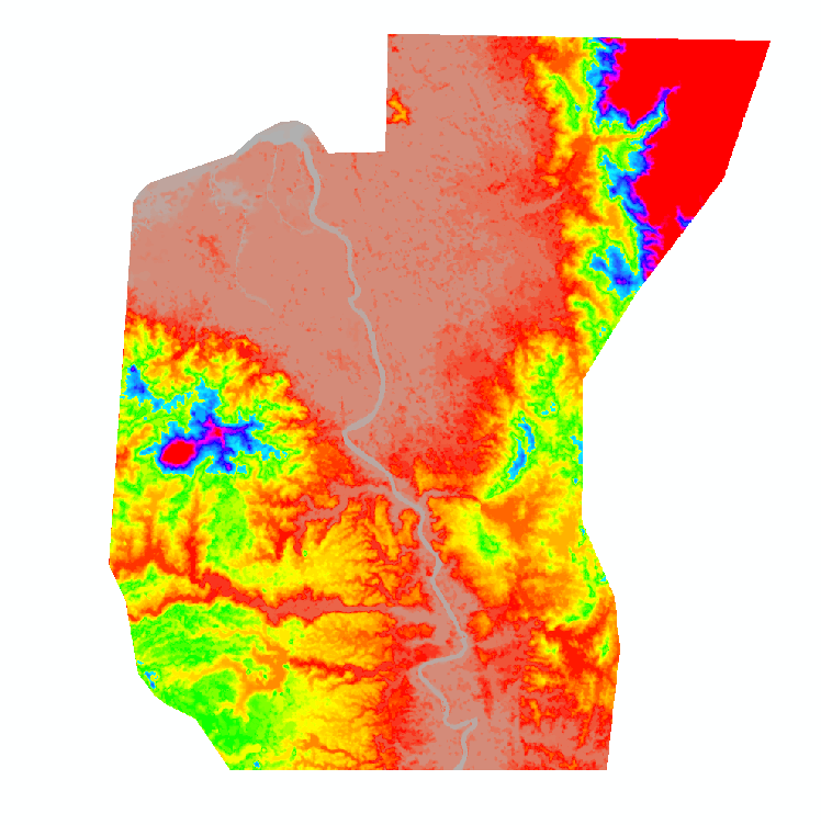
flow direction flow direction

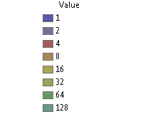
flow direction values flow direction values
flow accumulation (flow break) flow accumulation (flow break)
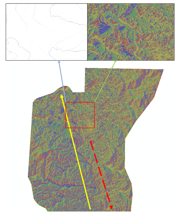
The yellow arrow tells the direction of the actual flow of the river. The red dashed arrow tells the direction of the generated flow direction. enter image description here
14
  • it looks like ArcGis by the shading. Flow direction is the direction for each cell where the water will flow. From this you create a flow accumulation which will concentrate the values at the creeks/rivers then using a threshold value extract the high values (extract by attributes - spatial analyst) and raster to polyline in the basic form but there is no guarantee that the rivers will flow downhill. I believe there are some hydro tools for arc that will create the rivers that will flow downhill but don't know what it's called. Commented Jul 25, 2014 at 5:57
  • i'll try again to edit my question to display the actual flow direction.
    – vklopt
    Commented Jul 25, 2014 at 5:59
  • 1
    The above results look normal, but the actual flow direction will make more sense when you perform a flow accumulation from the flow direction.
    – Mike T
    Commented Jul 25, 2014 at 6:03
  • 1
    What is happening here is very common thing with out of the box DEMs. It is not flow enforced, thus the road in the middle on the flat part of river creates 'ridge' where it shoulg not be. Quick and dirty solution is to convert grid to points, create river digitised in correct direction, use Topo to grid with points and stream.
    – FelixIP
    Commented Jul 25, 2014 at 21:42
  • 1
    Yes @ChrisW, that was where I heard it before. It looks like it's a very flat area but as for the actual flow of the river you can't tell just from a flow direction. Use the link that Chris provided to create drainage downhill and then FelixIPs' suggestion using the flow directed drainage to hydrologically enforce the DEM, that or fill sinks on the DEM to flatten the areas where it shouldn't be backflowing. Commented Jul 27, 2014 at 21:55

1 Answer 1

1

Have you considered "burning in" the main drainage channel? This is a process which is explained well in another thread here:

Burning stream network into DEM layer using ArcGIS Desktop?

It can help to account for common errors in elevation data (like bridges or roads crossing the river). It should force the flow in that area and produce a more accurate looking drainage network.

It is easily accomplished in Arcgis and many other open source GIS software. Hopefully that helps.

1
  • yes I have already considered that, however, i got a new DEM with rivers networks that are not likely to be reliable since the elevation are too step. .
    – vklopt
    Commented Apr 7, 2015 at 7:17

Your Answer

By clicking “Post Your Answer”, you agree to our terms of service and acknowledge you have read our privacy policy.

Not the answer you're looking for? Browse other questions tagged or ask your own question.