3

Let's say I have a vegetation raster that indicates the density of forest all over the world. I also have a shapefile that contains the admin boundaries of each country in the world. The easy part is to make sure the grid cells are within the country boundary, but what I want to do afterwards is to create a separate polygon boundary that will surround the region in question. It is best to do it dynamically based on a certain density threshold, that could vary from country to country. I haven't exactly figured out how to handle that yet, but once I do, how would I go about encasing that data within a polygon that can be saved as another shapefile. I have attached an image of what I want the result to look like. Polygon
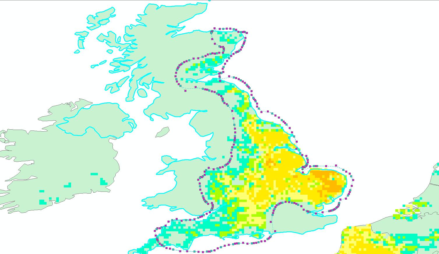
So after a threshold is determined, a polygon will be drawn around the area as tight to the boundary as possible, excuse the freehand above, and then output it as a new shapefile. Is this possible and any ideas on how it can be done? Would using Model Builder be feasible to create a tool that would take the density shapefile, boundary shapefile, and threshold value as inputs to produce a polygon?

8
  • You might find these discussions useful: gis.stackexchange.com/questions/8/…
    – Branco
    Commented Aug 5, 2014 at 17:52
  • Indeed they are, turns out though, I have a raster file and not a shapefile like I thought, so that opens a whole other can of worms. OP fixed to reflect this.
    – twistr25
    Commented Aug 5, 2014 at 19:09
  • This question seems to be almost identical to the one at gis.stackexchange.com/questions/102468/…. How, if at all, does it differ?
    – whuber
    Commented Aug 5, 2014 at 19:21
  • Looks pretty similar. I'll try some of those techniques and see what I can come up with.
    – twistr25
    Commented Aug 6, 2014 at 12:19
  • I'm going to be honest @whuber, that is beyond my capabilities most of what you discussed in that post. I have resorted to using focal statistics to create a point shapefile of the region I want, and it seems like it should be really easy to trace an outline of the points, but I am having a real hard time figuring out how to do that.
    – twistr25
    Commented Aug 6, 2014 at 15:45

1 Answer 1

1

Is it possible to Convert Raster to Polygon, then use the polygons in one of the tools referenced by Branco's comment?

Feature Outline Masks

Minimum Bounding Geometry

1
  • I tried this, but my values are fairly small and it requires the Raster values to be integers. I'm sure there is a way around it, like multiplying by a large number then re-dividing later, but when I first did it, I got really large grid cells that were no longer representative of the area I was working in. But I am exploring this option as well.
    – twistr25
    Commented Aug 6, 2014 at 12:21

Your Answer

By clicking “Post Your Answer”, you agree to our terms of service and acknowledge you have read our privacy policy.

Not the answer you're looking for? Browse other questions tagged or ask your own question.