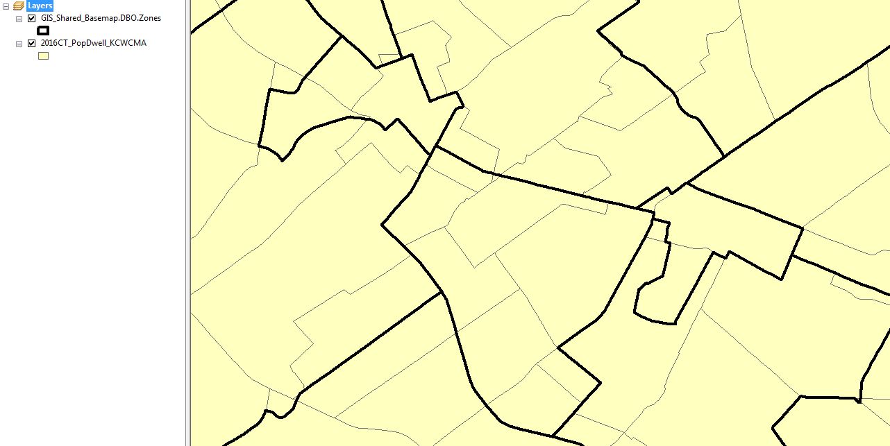
I have one shapefile contains census areas with population and density information and the other shapefile is just an administrative zone file. There may be multiple census areas within each zone and the reverse may true as well.
I would like to calculate the density based on the zone information and but the density information is in the census area. If possible, when the census area is split by the zone boundary, I would like the density to be proportional to the area. For example, if 75% of the census area goes into the Zone A, the density for the census area should be divided so that it has 75% of the density.
I've attached a picture of the two shapefiles.
I run ArcGIS 10.3 on a basic license, so the split tool won’t be an option for me.
Is this doable?

