Relative newbie to QGIS and trying to figure out exactly what I'm doing wrong. A couple days ago I had azimuth and distance working perfectly. I was using it in a different project with different shapefiles and I'm not sure what projection I was using then.
I'm using QGIS Version 2.8.1-Wien and Azimuth and Distance Plugin Version 0.9.3
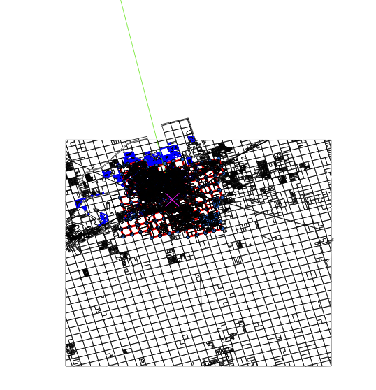
Now for some reason no matter what distance I put in it draws the line way off of the map. Before I was using default, but I've tried using both default and feet and it seems to make no difference.

I started over from scratch and everything is projected in EPSG:4326 WGS 84 and the project default is set to EPSG:4326 WGS 84. Whenever I draw to a temp layer it auto sets the projection to EPSG:4326 WGS 84 since one is not defined.
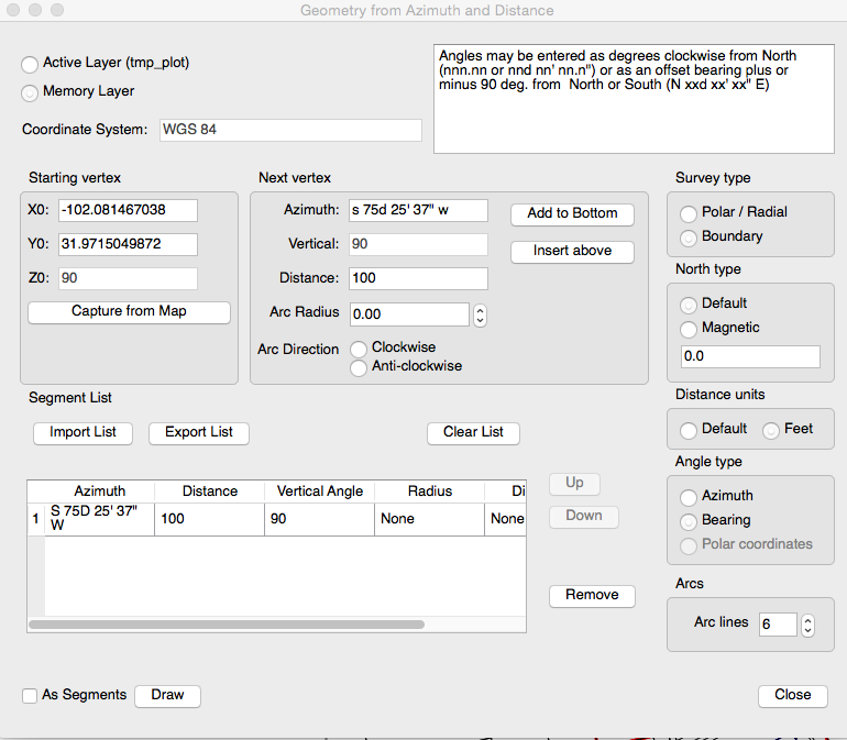
Here is a screenshot of what I'm inputting. Doesn't matter if I choose default or feet under units, it will still draw it off into infinity.

