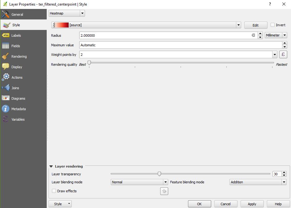
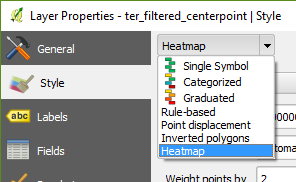
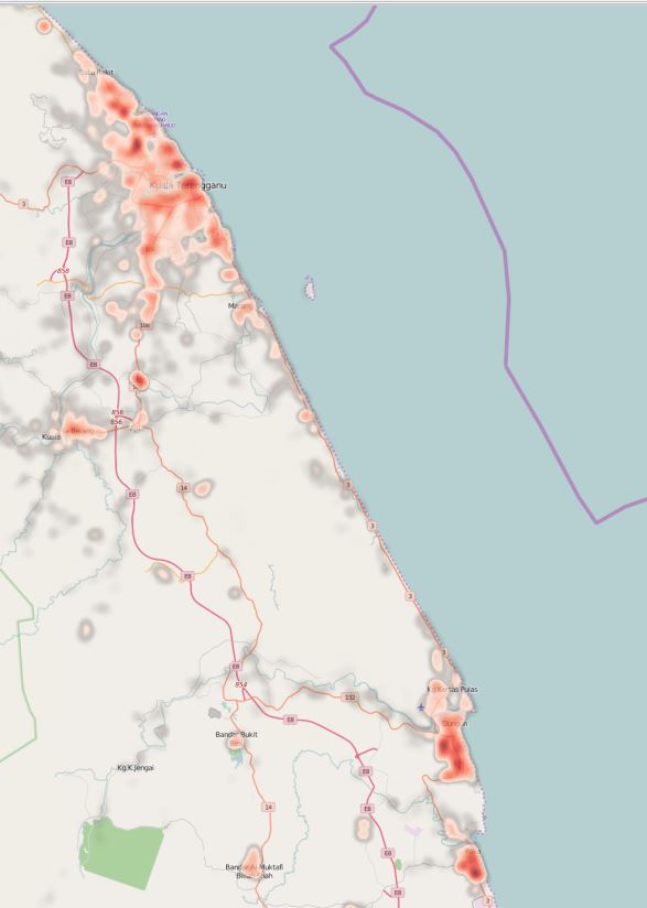
I am currently trying to make heatmaps of bird observations in an area. I have had a lot of success making the actual heatmaps for most birds, except the ones that are extremely abundant. I use the heatmaps to find density of the birds per acre at a given point, so it's important for me to get all of the birds on a map. I was wondering if anyone has had experience with making heatmaps from numerous, dense points? What do you need to do differently to get it to show up?


