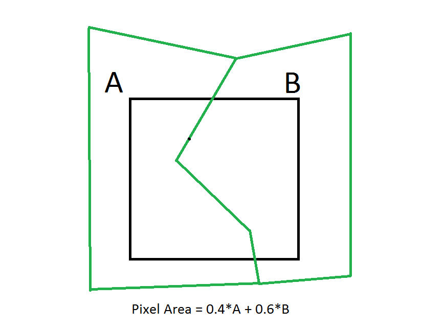
I've got a small clipped extent of a LANDSAT image and I need to have the single pixels as polygons in order to tell the overlap proportions of overlaying polygons. In ArcGIS I used "Raster to polygon" without simplyfying polygons and used the "identity" tool then.
What would be a good equivalent in Grass GIS?
For "raster to polygon", I found "r.to.vect", but Grass always complains that the raster is "not properly thinned". I didn't understand what 'r.thin' does and I don't want ANY changes in the raster values. Can anybody help with a "clean" solution?
EDIT:
According to Micha's answer, here's an illustration of what my final goal is:

