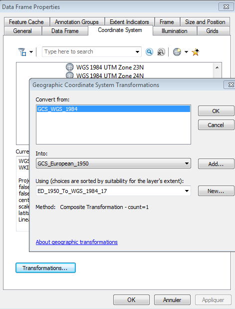
If I have a shapefile in ArcMap and I go to export it, the export data dialog comes up with a mandatory choice of using the layer's data source coordinate system or the data frame's coordinate system.
I was interested if someone can explain to me what both of these are in most simple terms.
I will write down what I thought they were and please do correct me.
If I have a shapefile that is in WGS 1984 and I export it with the layer's data source option it will retain the WGS 1984 co-ordinates.
If I were to pick to use the data frame option, which in European 1950, it will give it the data frame co-ordinates. But the actual conversion has not been done.

