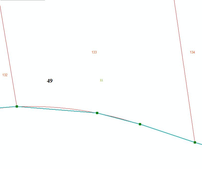
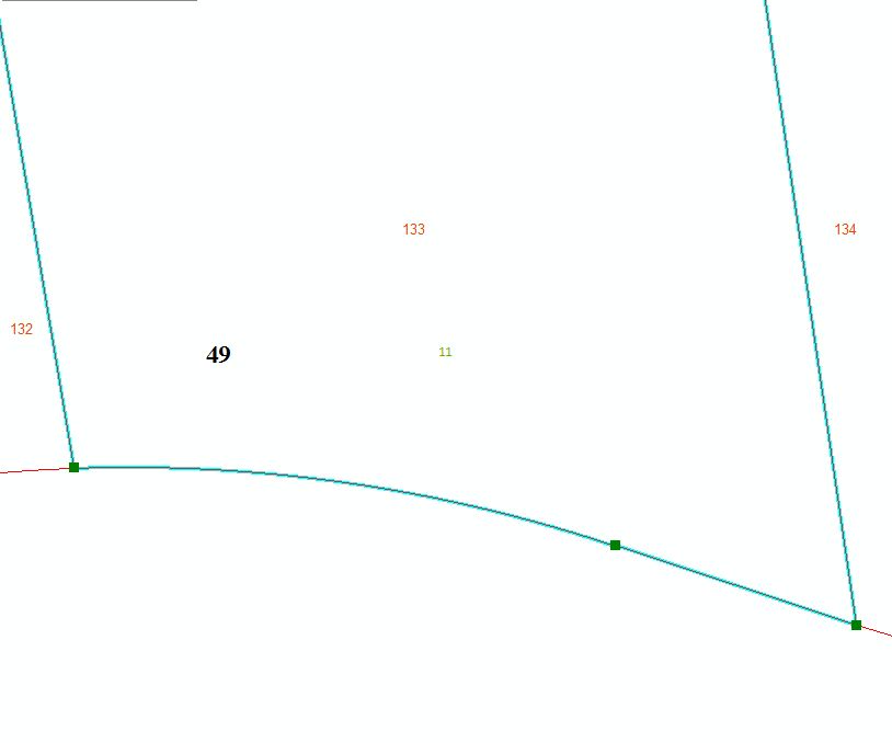
I'm looking for a good method for reshaping parcel polygons that have curves. One side of a given polygon (like in my screenshot) has a curve but for some reason, the other side was made with straight segments. There is only a very small difference (0.5 feet for example). I'd like to replace the straight segments with the same curve as on the adjacent polygon. Often the straight segments are on very large right-of-ways so the reshape tool (without temporarily clipping the polygon into a smaller sub-unit) is not a great option. When I try to reshape, and trace the curve, it inevitably follows the path of the straight segment (I think these straight pieces were created through tracing anyway? though I'm not entirely sure). I tried setting the snapping tolerance to like 2 pixels but then I often can't even find the start of the curve. I should add that I don't know the radii of these curves so tracing would be best. Can anyone recommend a working solution to help me out? Simpler would better, obviously, but I'm ready to jump through hoops if necessary.
-
What is the origin of the curved data? If it's CAD, it might be true curves (stored in a CAD blob), which won't be amenable to matching (except through pedantic vertex densification)...– VinceCommented Dec 23, 2015 at 18:50
-
How big is your dataset, are you looking for an automated solution? or are you going to do this manually?– yanesCommented Dec 23, 2015 at 18:53
-
Unfortunately @Vince it is derived from CAD (but it is now stored in a SQL Server GDB). The dataset is large-ish but I'm only adding bits and pieces from CAD (e.g. maybe 100 lots at a time).– jbchurchillCommented Dec 23, 2015 at 20:18
-
I'd unbuild polygons into lines and rebuild them again, by removing straight parts first. Don't forget to save attributes into point features– FelixIPCommented Dec 23, 2015 at 21:03
-
You check out the align edge tool on the Topology toolbar explained in this blog: blogs.esri.com/esri/arcgis/2012/11/09/aligning-edges I have not tried it myself. Let us know if you try it and if it works or still has issues with true curve edges.– Richard FairhurstCommented Dec 24, 2015 at 21:39
1 Answer
Assuming that you are dealing with a true curve stored in a geodatabase, the method that I would try to use is to turn it into a vertexed curve first.
The method I use when I need to do this, is to copy the polygon from the geodatabase feature class to a shapefile, delete the original and then copy the vertexed curve from the shapefile into the geodatabase feature class.
The above method, by default, seems to place a very large number of vertices so that the shape appears identical until zoomed in a long way.
You should then be able to use the Trace tool to get a near perfect result.
-
I have started down this road base on some of the other comments above. I didn't need to convert to polyline but just a polygon in shapefile format (which eliminated the curves). I'm still having some issues with tolerances (I guess that is what is causing it). One side is not snapping well to the other side (presumably too much detail). This may be the best answer I can ask for though. Thanks! Commented Dec 29, 2015 at 15:44
-
1I'm accepting this as the answer since it is pretty much the way I'm doing this. The snapping thing is still a problem and I may end up creating a new question for it. Commented Dec 31, 2015 at 13:41


