Is there any tool that will let me visualize a WKT polygon on a world map such as google maps?
-
1Probably lots of tools. Are you looking for something web based, thick client based, or own-hosted based?– BradHardsCommented Jan 18, 2016 at 7:09
-
What GIS software are you already familiar with? If you check the documentation and find that it appears not to do it when its product description suggests it should then that would make a more focussed Q&A than your currently quite broad question.– PolyGeo ♦Commented Jan 18, 2016 at 7:13
-
Possible duplicate of gis.stackexchange.com/questions/60534/…– alphabetasoupCommented Jan 18, 2016 at 7:37
-
I'm willing to look at free software but an online tool would be best.– pguardiarioCommented Jan 18, 2016 at 8:02
Add a comment
|
1 Answer
Yes.
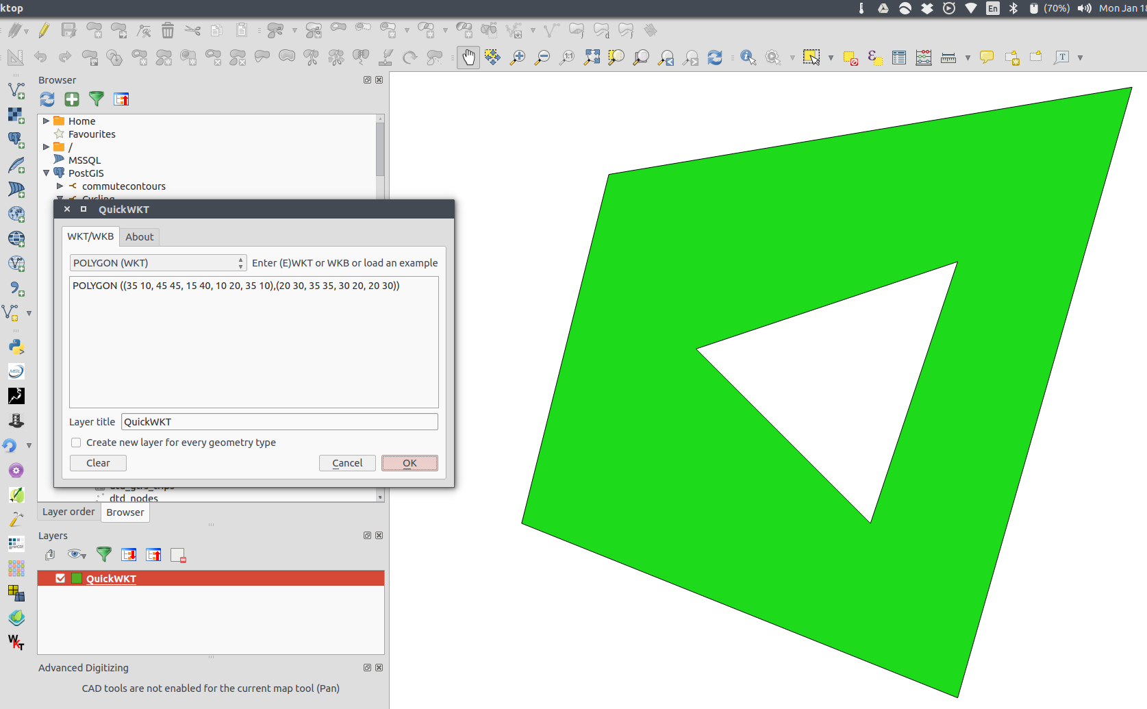
QGIS: the QuickWKT plugin. The description of the tool is as follows:
Quick WKT/WKB viewer, this Qgis Plugin opens a dialog where the user can paste (E)WKT and WKB code and see it on the map. Pasted data are stored in a temporay (memory) layer and are completely lost when the user quits QGIS.
Wicket: if you need/want to do this in the browser.
-
WKT geometry can be read from a CSV file in QGIS, too. See Add Delimited Text Layer.– ZoltanCommented Jan 18, 2016 at 7:43
-
I must be doing something wrong, I can't wicket or other tools to work. Can you try with this and tell me what the problem is?
POLYGON((42.0095169 -124.415165, 42.0095169 -119.2732788, 37.2718906 -119.2732788, 37.2718906 -124.415165, 42.0095169 -124.415165))Commented Jan 18, 2016 at 8:04 -
-
2It's always
(x, y), it doesn't know anything about longitude or latitude. Commented Jan 18, 2016 at 8:55 -
1I don't know how I can make this any clearer. With WKT, the order is
(x, y), or(easting, northing). Think of a graph with x and y axes: vertical and horizontal. When using latitude and longitude coordinates, the x dimension is longitude, and the y dimension is latitude, so therefore WKT needs your location given as(lng, lat). Is that clear? Commented Jan 18, 2016 at 21:51

