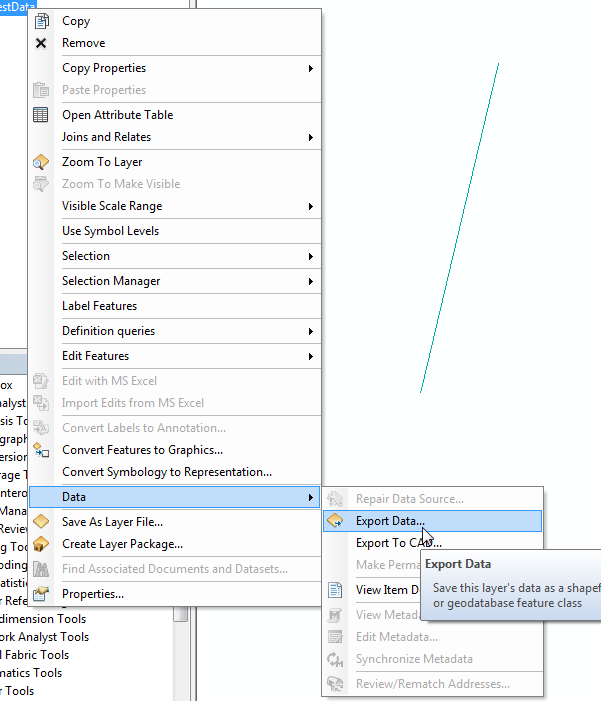
I have cad file (.dwg) which contains the geometry and the attributes are in the tables of access (.mdb) database. The common FIELD in both of them is "HANDLE".
How do I convert these into a geodatabase taking the geometry from the CAD and the attributes from the .mdb?
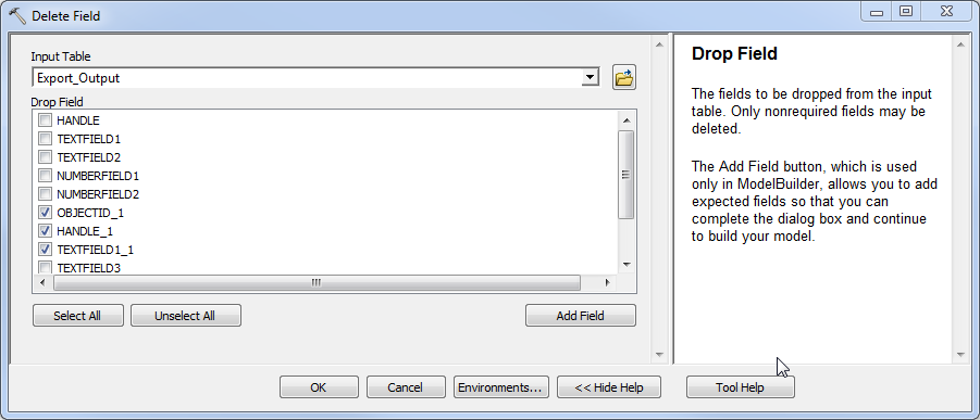
I have tried first by converting the cad into feature class and then JOIN it with the mdb tables, but the fields are getting repeated. How to update or copy the attributes from the tables into the geodatabase?


