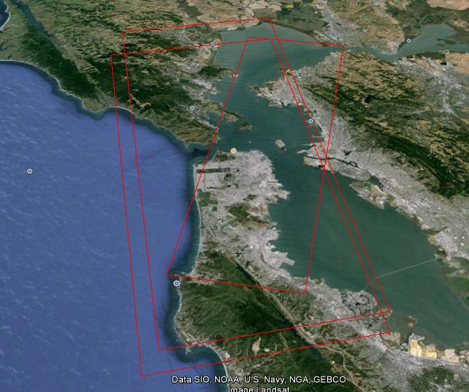
I have three data sets of San Francisco, TerraSAR-X, ALOS-PALSAR, Radarsat2. I have extracted KML files using Envi Sarscape.
In order to find the intersection of these areas, I have converted these kml's into polygon shapefiles using:
Conversion Tools ---> From KML ---> KML To Layer
Conversion Tools ---> To Shapefile ---> Feature Class To Shapefile (multiple)
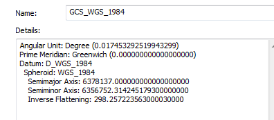
Each of those shapefiles have the following coordinate system when I used the properties from ArcCatalog
But when I used the following toolbox to extract the intersection shapefile
Analysis Tools ---> Overlay ---> Intersect
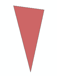
The extracted shapefile will be as follows!!
What's the problem?
Edit to answer radouxju
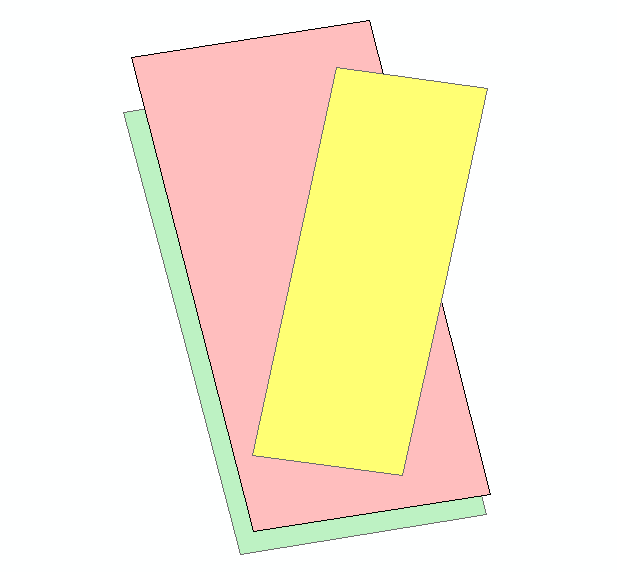
Union would give the following result

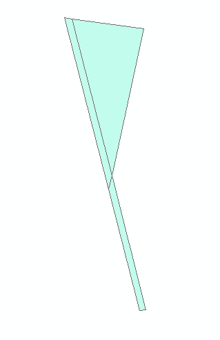
Intersect Toolis using planar mathematics for the geographical coordinate system (WGS). Although that issue is patched at 10!