I am trying to create a polygon layer showing polygons that correspond to a closest store.
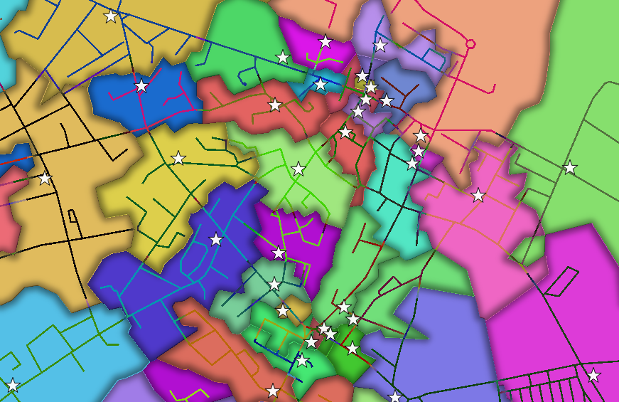
For a set of 30 store locations, the result should be a polygon layer with 30 features, one for each store. Each feature will represent an area where it's corresponding store is the closest. For example, an address within polygon 12 means that store 12 is the closest.
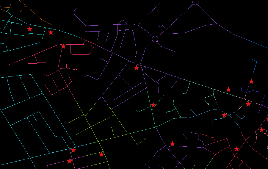
I have my store locations layer and OSM streets layer with max speed column. The resulting polygon layer should be based on the OSM streets layer and not simply linear areas.
The idea is that given a fixed set of stores and roads, the closest store should remain constant at any given point on a map. Thus, I am hoping that the resulting polygon layer will be gapless.
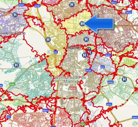
This video of Maptitude software provides a perfect example of what I'm trying to accomplish (fast forward to 1:55 of the video). Alternatively, see the image below for an example:
For each hospital, there is a corresponding area where anything within that area is closest to the hospital located within that area.
How can I replicate this using QGIS?


