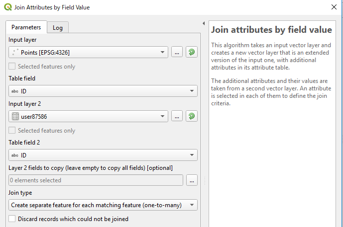
I have this kind of csv attribute table:
          ID INVENT_KPV KASVUKOHA_KOOD RINDE_KOOD PUULIIGI_KOOD VANUS
297945203711 2009.08.31             MO          1            KS    60
297945203711 2009.08.31             MO          2            KU    50
297945303711 2009.08.31             SS          1            MA    60
297945303711 2009.08.31             SS          1            KS    60
297945403711 2009.08.31             JO          1            HB    NA
As you can see, there are 3 different ID codes. I have also a map in QGIS and I want to join this attribute table and the map together but the problem is that when I use the button "info" in QGIS and click on the map then it shows me only information about one row not all of them (which have the same IDs).
For example, if I click somewhere in the map where's a patch with ID 297945303711 then it only shows me: 2009.08.31, SS, 1, MA, 60 and not 2009.08.31, SS, 1, KS, 60.


