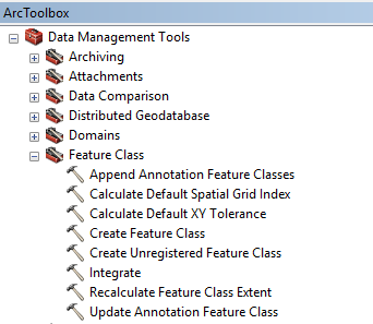
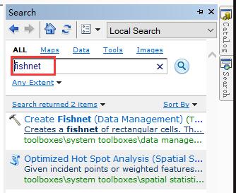
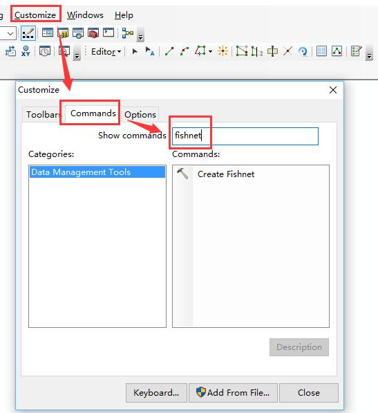
I'm using ArcGIS and closely following this tutorial http://economics.mit.edu/files/8945 to process data in ArcMap. My problem arises because in my software I can't find the Create Fishnet option in Data Management Tools-->Features Class. Here is a picture of what it looks like
I have searched in the Internet but no one seems to be having the same issue. The coordinate system is the standard WGS 1984 Web Mercator.


