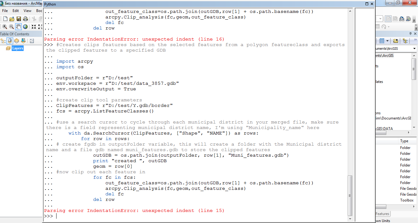
Merge your municipal polygon features into a single file. Make sure there is a name field in your merged out put to specify the polygon representing it's respective municipal district. This code should do the trick once you replace the proper parameters and file locations:
import arcpy
import os

outputFolder = r"D:/test"
arcpy.env.workspace = r"D:/test/data_3857.gdb"
arcpy.env.overwriteOutput = True

#create clip tool parameters
ClipFeatures = r"D:/test/Y.gdb/borders"
fcs = arcpy.ListFeatureClasses()

# use a search cursor to cycle through each municipal district in your merged file, make sure there is a field representing municipal district name, I'm using "Municipality_name" here
with arcpy.da.SearchCursor(ClipFeatures, ["SHAPE@", "NAME"]) as rows:
    for row in rows:
        # create fgdb in outputFolder variable, this will create a folder with   the Municipal district name and a file gdb named muni_features.gdb to store the clipped features
        outGDB = os.path.join("MD_" + row[1], "Muni_features.gdb")
        arcpy.CreateFileGDB_management(outputFolder,outGDB)
        print "created", outGDB
        geom = row[0]
        #now clip out each feature in
        for fc in fcs:
            out_feature_class=os.path.join(outputFolder, outGDB,"MD_" + row[1] +  os.path.basename(fc))
            print out_feature_class
            arcpy.Clip_analysis(fc,geom,out_feature_class)
        del row


