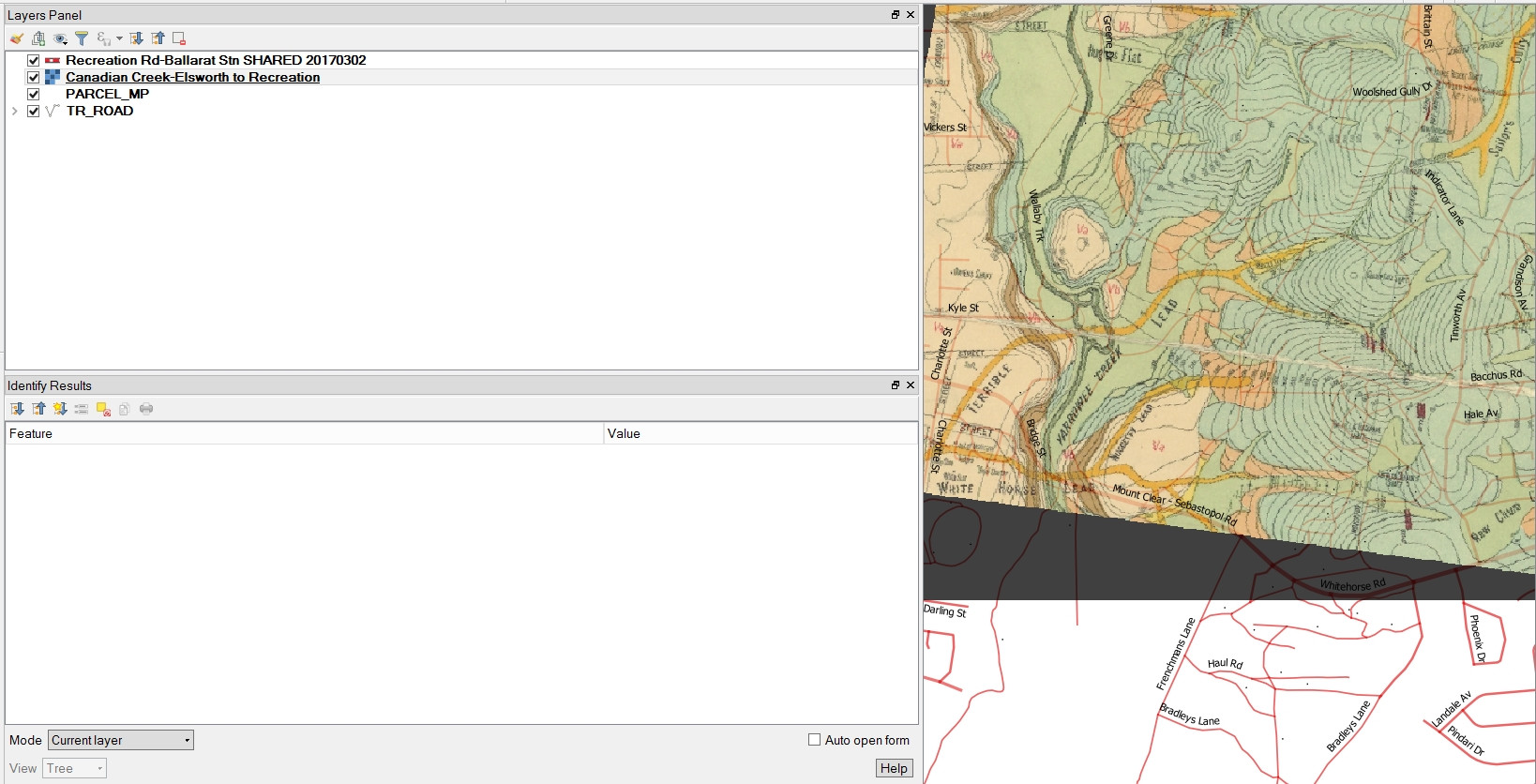
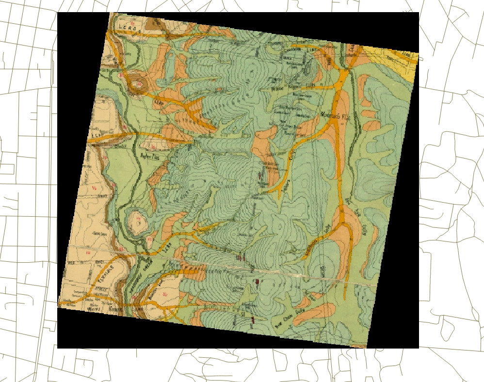
 I have looked at solutions to what seem to be somewhat similar problems but they don't seem to solve my problem. A georeferenced raster layer loads into the correct location in relation to other layers, so CRS is obviously OK, but has this black background which I don't know how to remove.
2 Answers
1. Method
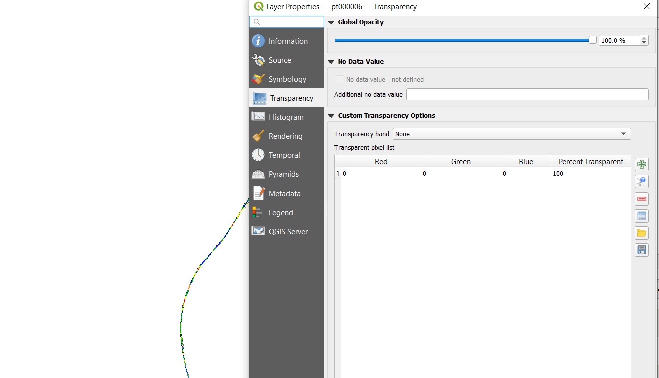
To remove the black border temporarily in QGIS, you can set the "Additional no data value" in Layer properties -> Transparency to 0 (or 000000). If the border is not 100% black you can use the information tool to find out which color you need to set to transparent. If the border is not evenly black, you can use the custom transparent pixel list in the same window below.
2. Method
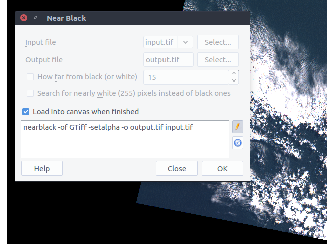
If you like to permanently remove the black border in your image by adding an alpha channel, you can use the GDAL Tool nearblack: Go to Raster -> Analysis -> Near Black and set the in- and ouputfile, then use the edit pen to add -setalpha and -of GTiff.
nearblack -of GTiff -setalpha -o output.tif input.tif
(Of course you need to set output.tif and input.tif to your needs)
-
I have tried your "-setalpha" Near Black process. The process runs using my input and output files but just keeps returning the same black background? Do you know why this may be?– BenCommented Apr 4, 2017 at 23:30
-
I tried and it didn't work for me too, raising a warning about Formats. But it works when the output format (-of) is specified. I updated the answer accordingly. Please try this :-)– pLumoCommented Apr 5, 2017 at 6:03
-
Greatly appreciated, creating a none band and setting the RGB values at 0 - 0 -0 allows you to cleanly remove the black border without detail loss from the map itself. Good work. Commented Mar 4, 2022 at 3:34


iin the blue circle. You have to select the raster layer first, then click within the black triangles.