Archie's Campings offers a pretty thorough list of campsites in Europe.
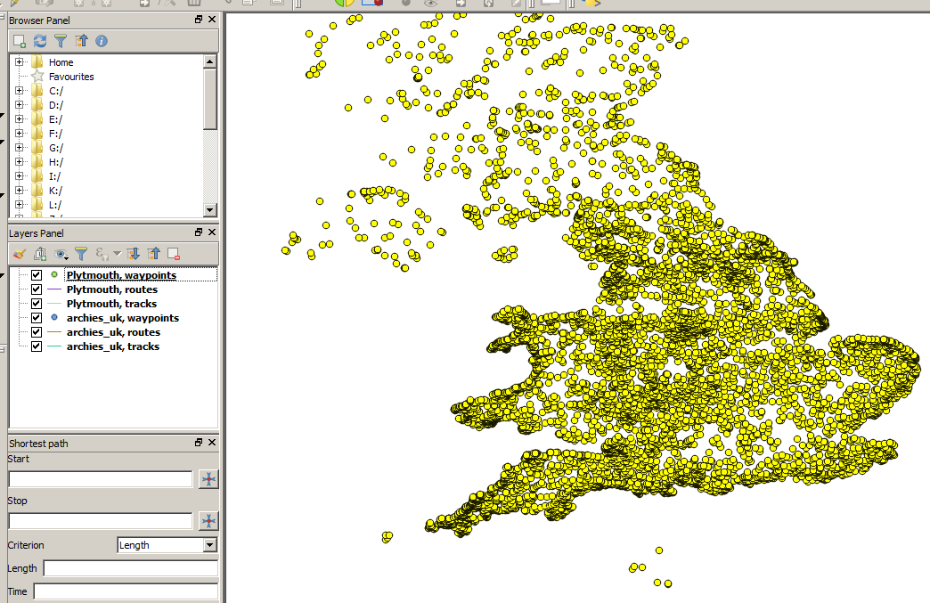
Problem is, files are only country-size, so the number of waypoints is overwhelming (Here's the UK for instance).
To plan bike tours, I'd like to merge 1) a route from a GPX file, and 2) a filtered Archie's list to only keep campsites that are 5 kms from the route.
Is there a user-accessible tool that can do this, preferably Windows?
--
Edit: After importing the two GPX files through Vector > GPS > GPS Tools, here's what the screen looks like:

When I try merging the six items from the left through Vector > Data Management Tools > Merge vector layers, selected the layers, and hit Run, QGIS says All layers must have same geometry type!"
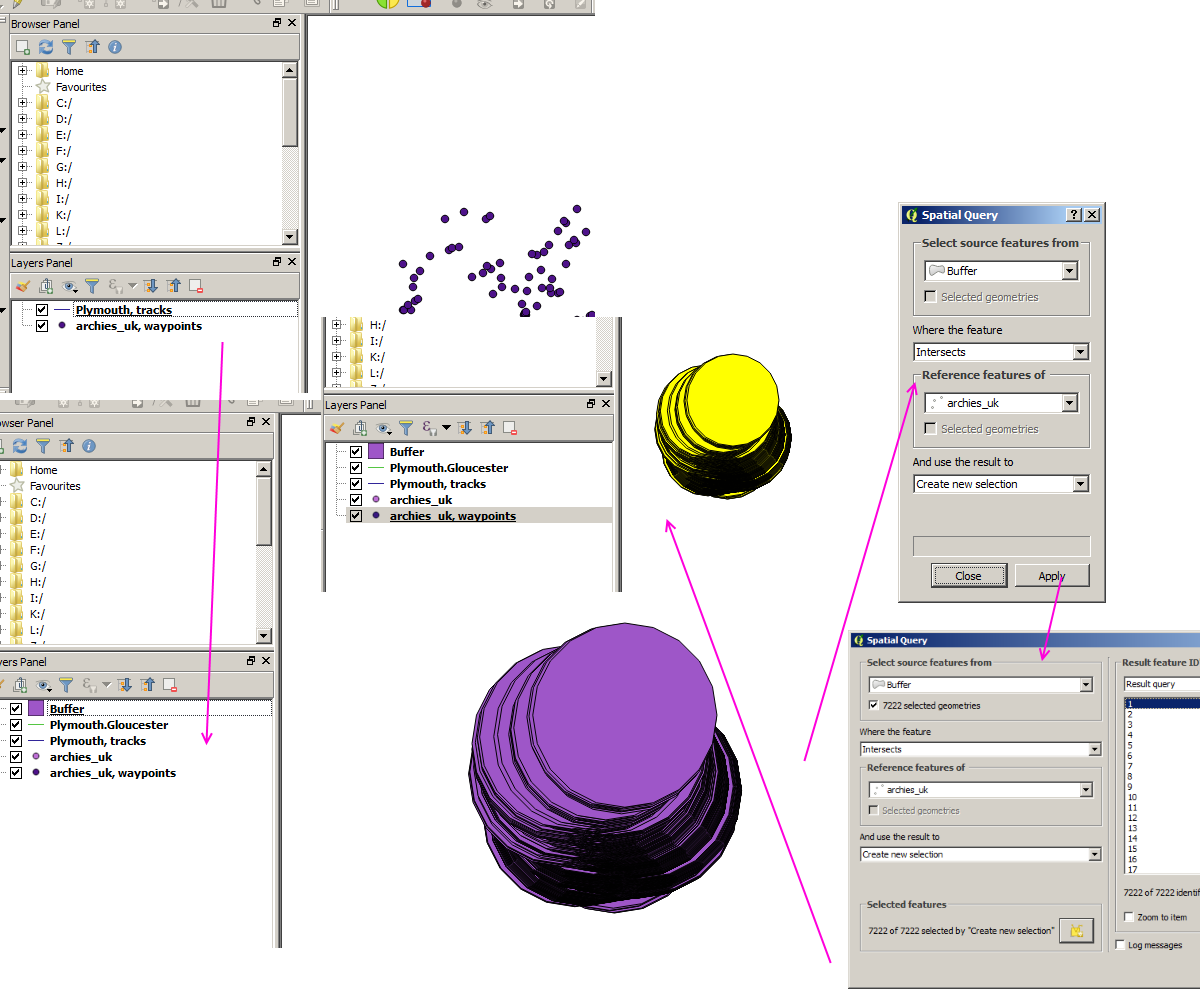
Edit: Here's what I get after 1) importing the two GPX files through Vector > GPS, 2) saving the waypoint item as an ESRI Shapefile and the track item also as an ESRI Shapefile, 3) selecting the new track item Shapefile and choosing Vector > Geoprocessing Tools > Fixed distance buffer, and 4) choosing Vector > Spatial Query > Spatial Query:
As a total GIS newbie, this is way above my head. I'll try to find someone where I live that I can sit with together in front of a computer.

