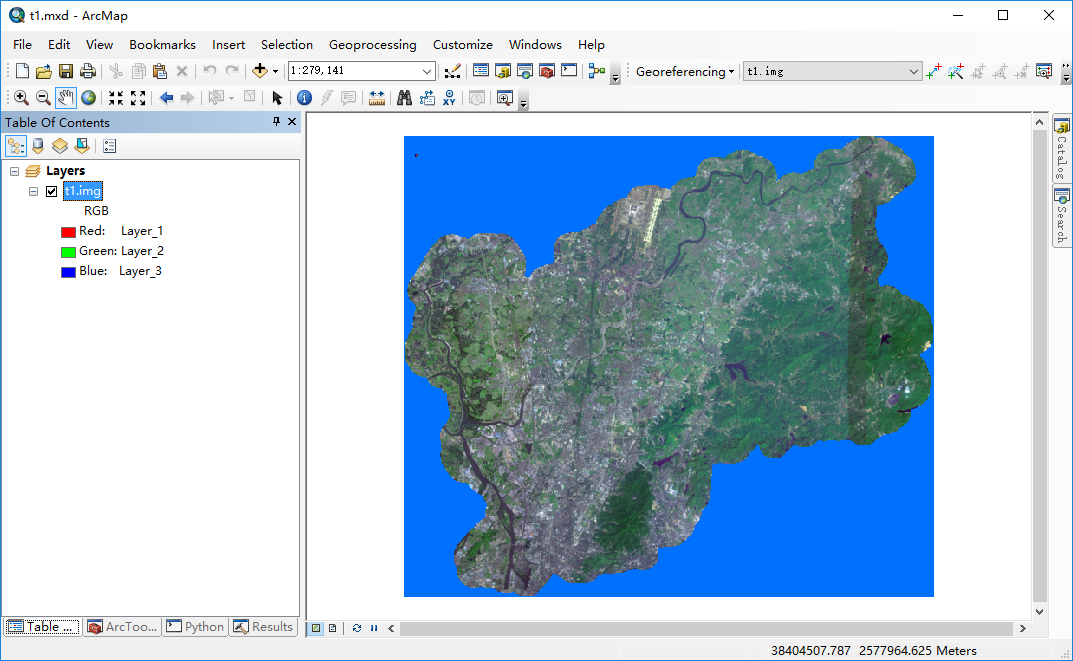
In ArcMap Desktop 10.2.2, I have a Erdas Imagine, please see the picture, its NoData is displayed as blue. I can use "Split Raster" tool(Opened by clicking: menu Geoprocessing >> ArcToolBox >> Data Management Tools >> Raster >> Raster Processing >> Split Raster) to split this map into tiles. however, in the splited tiles, the backgrond is black, (what I expect is background is blue).
How can I specify a color that nodata pixel will be rendered ?
I guess that the color may be related to the "NoData value" option when I runing "Split Raster", however, I searched all web but can not find any clues how to set this option.

