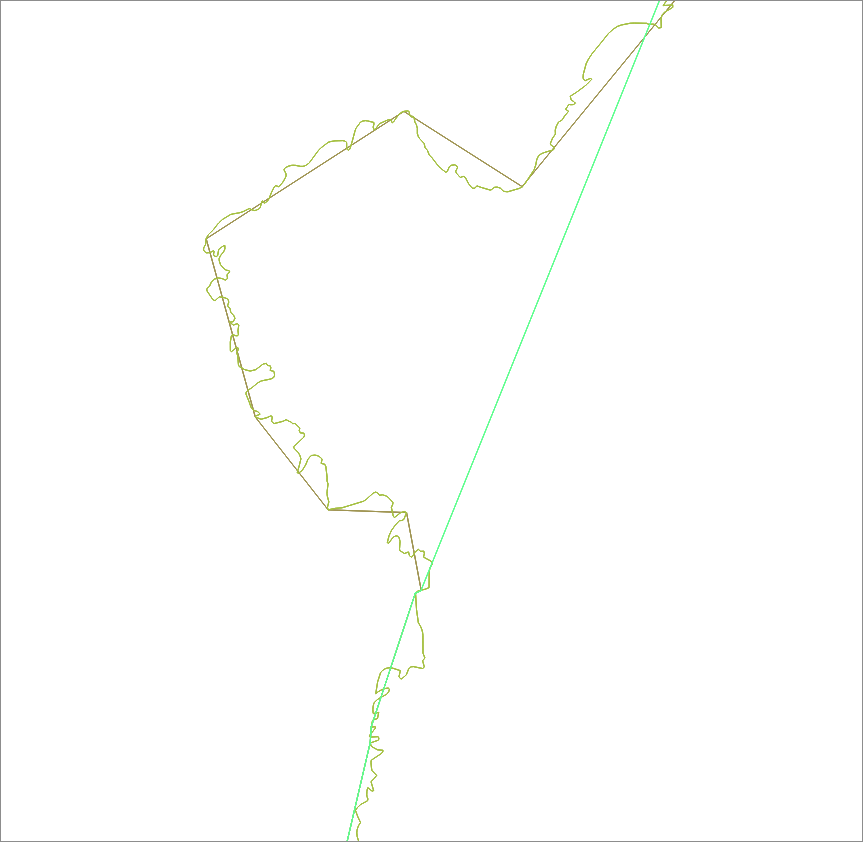
The ONS (Office for National Statistics) in the UK makes available a large number of shapefiles based on geocoded statistical data sets and admin/demographic boundary shapefiles. These are deposited at http://geoportal.statistics.gov.uk. I'm aware that there are a range of ways to generalise and simplify polygons within shapefiles, but what I'd like to know is how, in particular, this is being done by ONS. I've experimented with several similar processes: using GRASS v.generalise / v.simplify and ogr2ogr -simplify but can't seem to replicate anything quite the same as this. In particular, I'm curious how this can be done to generate such small shapefiles. So, for example, on the "Combined Authorities (April 2015) Full Extent Boundaries in England" dataset, the shapefile is about 1.4MB, where as for "Combined Authorities (April 2015) Ultra Generalised Clipped Boundaries in England" the size is around 29kb.
The closest thing I could find to an explanation was:
- Full resolution - extent of the realm (usually this is the Mean Low Water mark but in some cases boundaries extend beyond this to include off shore islands);
- Full resolution - clipped to the coastline (Mean High Water mark);
- Generalised (20m) - clipped to the coastline (Mean High Water mark);
- Super generalised (200m) - clipped to the coastline (Mean High Water mark) and
- Ultra generalised (500m) - clipped to the coastline (Mean High Water mark).
Perhaps there is an obvious mechanism for doing this that I'm missing because I haven't been searching in ArcGIS. I'd be glad for any suggestions as to the teechnical specifics of an industry "standard" approach to generalisation that might be in use here by ONS.

