1

I am working with two raster layers from WorldClim, using max temperature and minimum t. I want to obtain the range, meaning, doing tmax minus tmin. When I use raster calculator in order to do so, the result is a really small area.

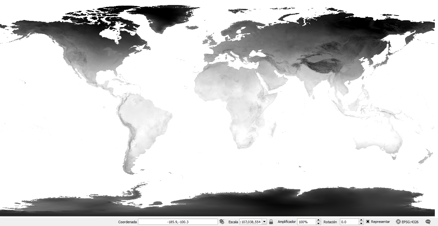
The original raster entire world raster

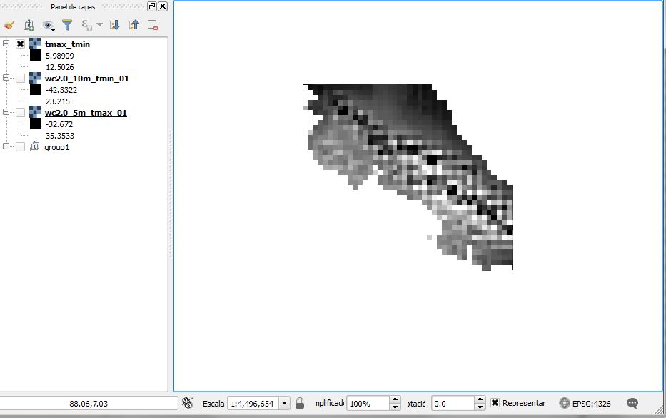
When I substract one raster layer with another (both of the same source, size, SRC, just different band values), this is the result:

enter image description here

How do I obtain the difference for the entire raster, and not just that small part?

3
  • going by the layer names, they seem to be different resolutions (5 minutes/pixel and 10 minutes/pixel), have you tried using two of the same resolution?
    – Steven Kay
    Commented Sep 6, 2017 at 23:36
  • Yes, and I still have the same cropped area. I was trying to see how the calculator was working by using different pixel size but using equal or different resolutions provides that small area as a result. Commented Sep 6, 2017 at 23:38
  • 2
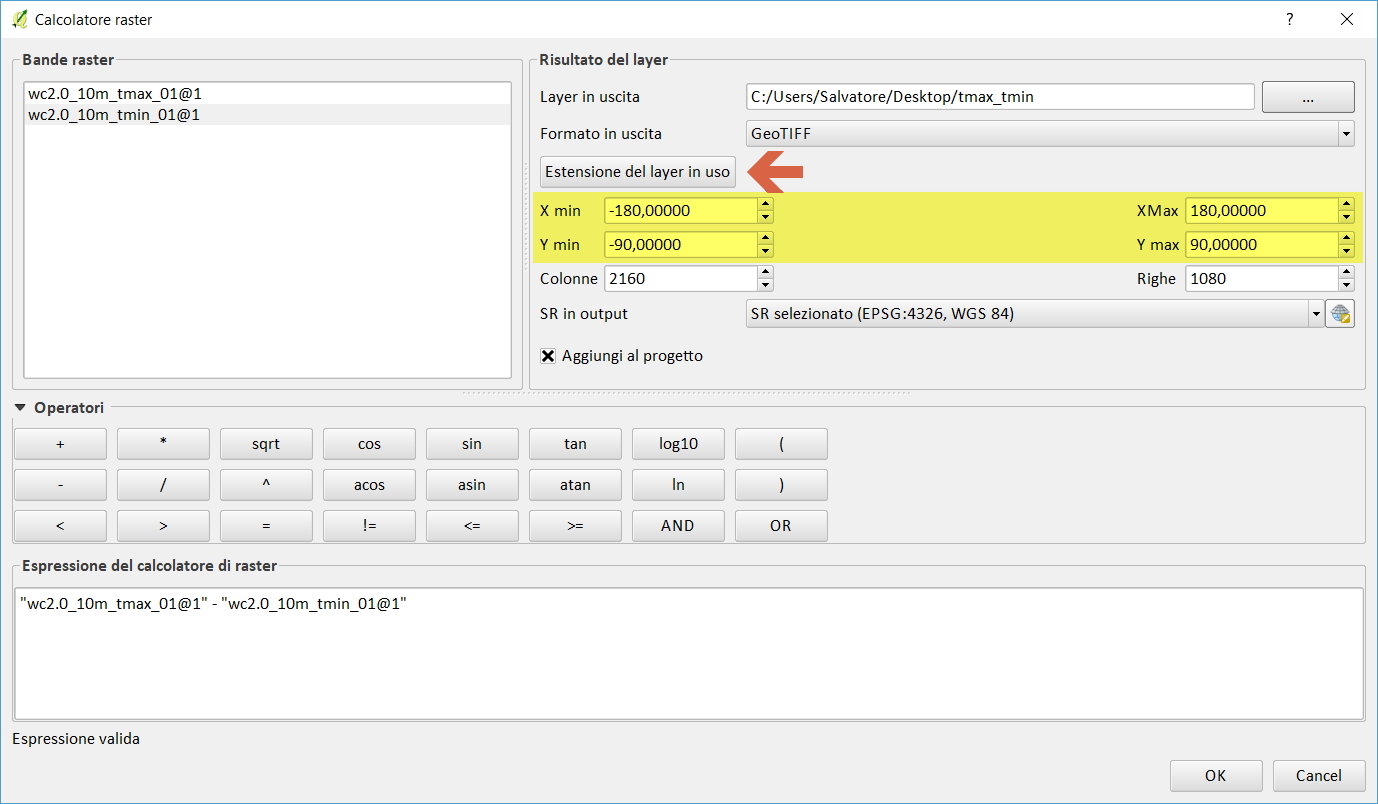
    What settings do you have in your Result layer box in the raster calculator? There are settings for Xmin, Xmax, Ymin and Ymax. Perhaps you should check that so that they are the same as your input layers.
    – Fezter
    Commented Sep 7, 2017 at 1:27

1 Answer 1

2

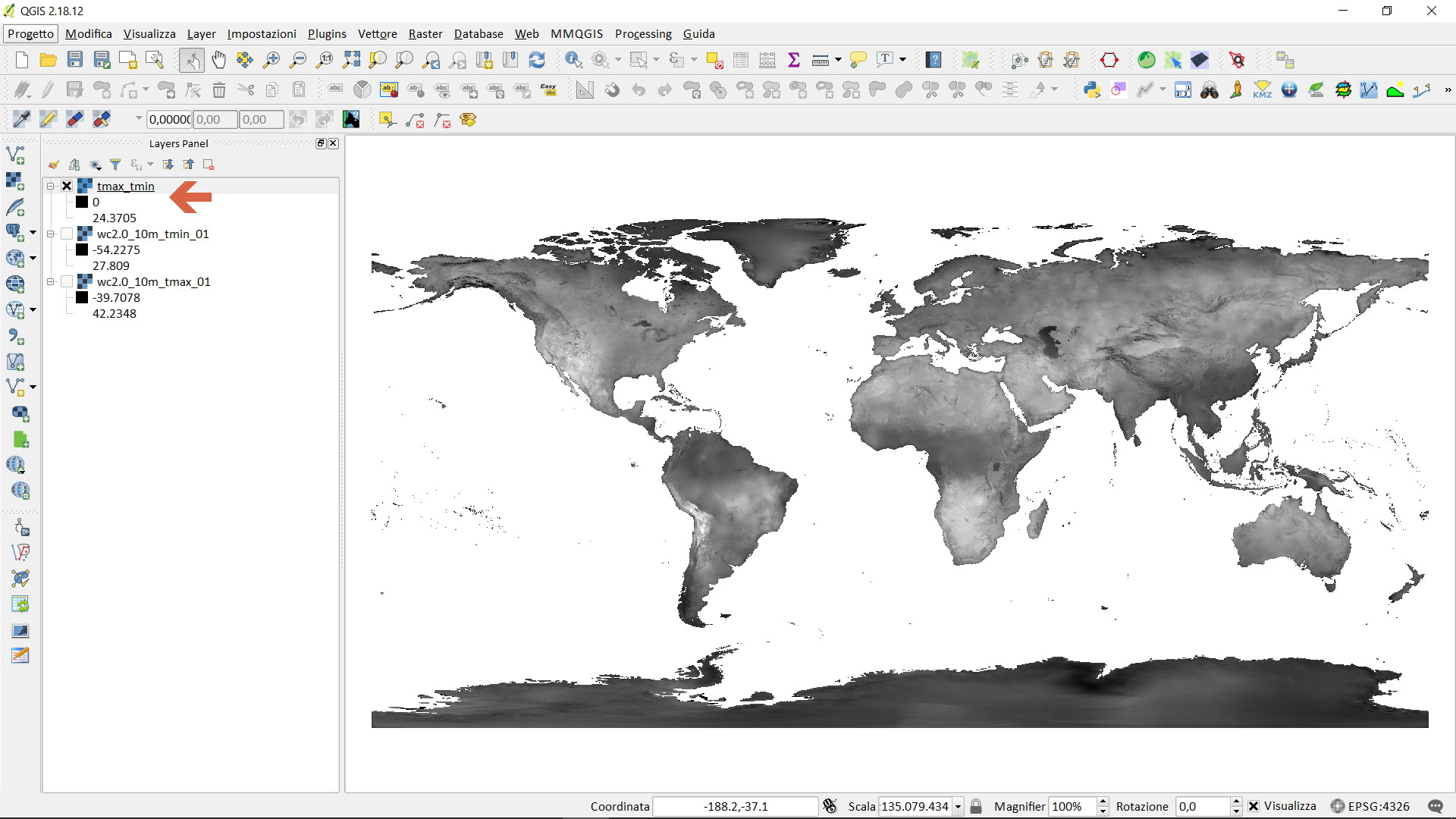
I downloaded the data and did a try, everything seems to work:

raster calculator:

map canvas: screenshot map canvas

Your Answer

By clicking “Post Your Answer”, you agree to our terms of service and acknowledge you have read our privacy policy.

Not the answer you're looking for? Browse other questions tagged or ask your own question.