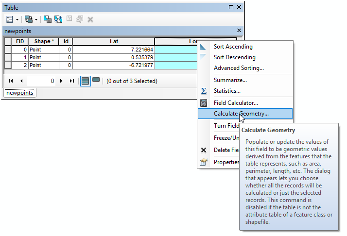
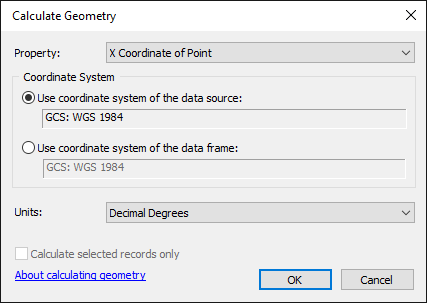
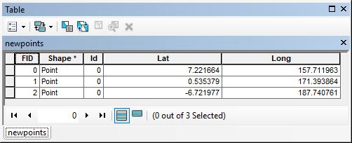
I received a shapefile from an online source, and in the attribute table it shows a column and values for latitude; but there is nothing for longitude.
I have not used ArcGIS for some time, and I don't remember encountering this issue in the past.
Furthermore, I am trying to align the above shapefile with one that I created with from a series of UTM coordinates. I have read a bit about the 'Projections and Transformations' toolbox but I have hit a block on choosing the right tool/s to use for this purpose.


