I've been having a lot of trouble getting the Multidimension system toolbox to work in ArcGIS (10.3). In particular, the Make NetCDF Raster Layer tool does not pick up on numerical Latitude and Longitude fields, meaning that the tool cannot correctly display my raster.
The sample data I am testing with can be downloaded here, although I've had the same issue with other NetCDF datasets. (There are plenty listed here.)
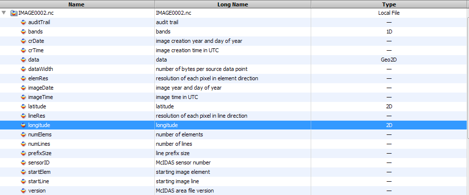
I have no problems loading this or other datasets with NASA's Panoply, suggesting the issue is entirely with the tool I'm trying to execute, not the dataset. Below, you can see the variables listed, which include longitude and latitude, with type 2D. How can latitude and longitude values have two dimensions on their own?

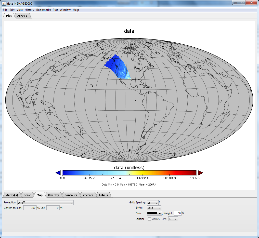
This still works, as it has worked for every .nc dataset I've tried in Panoply.

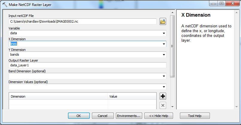
However in the Make NetCDF Raster Layer tool in ArcGIS, longitude and latitude cannot be selected
for the X Dimension or Y Dimension. Inappropriately, one (and only one) of these fields can be used as the Variable value. I couldn't get a screenshot with the drop-down showing, but latitude and longitude cannot be specified for the dimension fields. In practice this means that although other values can be chosen for X and Y, none of them give a true geographic representation. That is, the tool cannot actually show me the spatial representation of the NetCDF dataset.

Is there an issue with the Make NetCDF Raster Layer in ArcGIS 10.3? An issue with the dataset? An issue with my workflow? How can I display this dataset in ArcGIS?
EDIT: I have been successful using this tool in ArcGIS with a different NetCDF dataset, for a dataset that Panoply identified the latitude and longitude values as 1D type, rather than 2D type. So I suspect that is the problem. However I am still at a loss as to:
- How Panoply seems to get by with the dataset while ArcGIS does not; and
- How I can convert this and other datasets where the type of latitude and longitude is (apparently incorrectly) given as two-dimensional, so that ArcGIS can use them.
