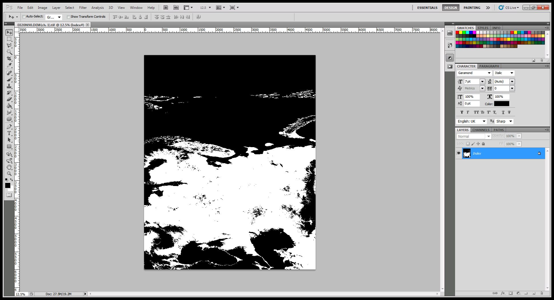
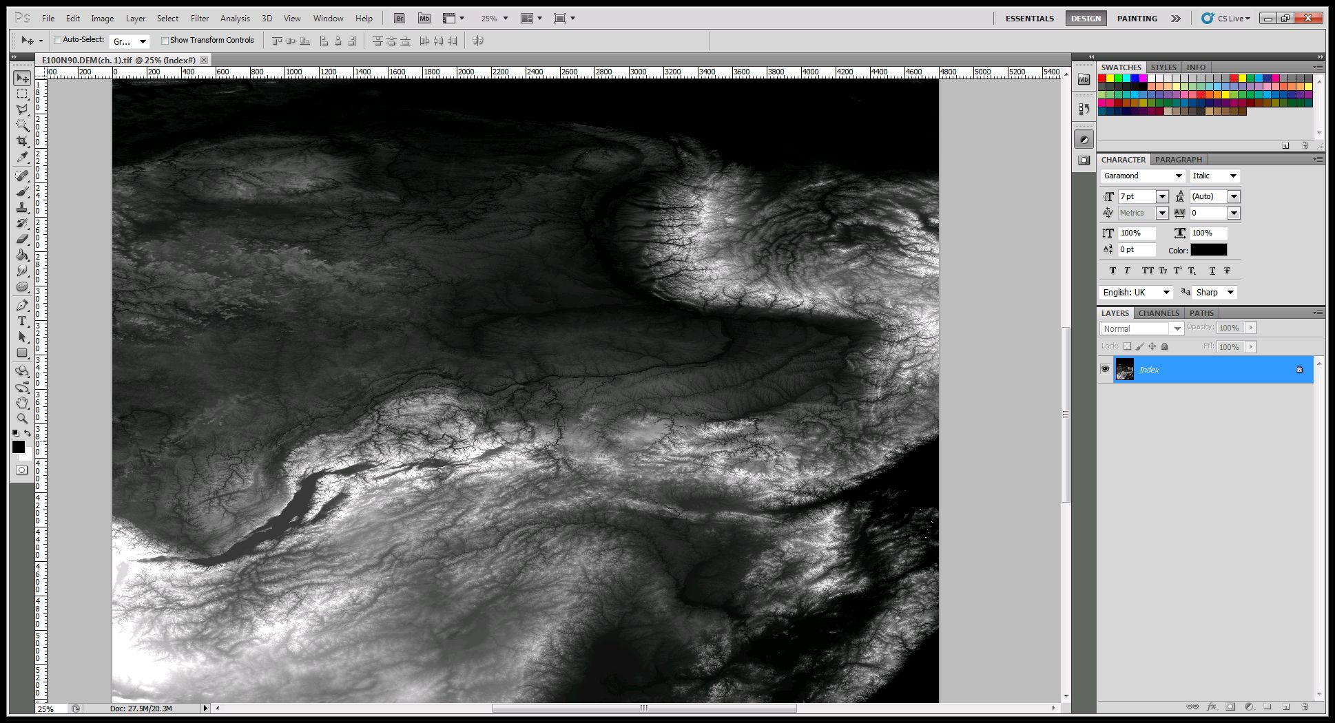
I downloaded these DEM files, http://www.dgadv.com/srtm30/ srtm30 globe. I open the DEM files in Multispec. Some of them are black and white, some are automatically grayscale.
How do I get them all in grayscale?
(attaching image to explain)


I downloaded these DEM files, http://www.dgadv.com/srtm30/ srtm30 globe. I open the DEM files in Multispec. Some of them are black and white, some are automatically grayscale.
How do I get them all in grayscale?
(attaching image to explain)


Well, i did it in Qgis. Import srtm data, then properties-->colormatp=gray, make sure to set current to stretch to minmax. Apply. Then you export as image from file menu.
Good enough?