Using ArcGIS 10.4
I have a feature class with many small catchments. I also have several raster layers with information for these catchments (derived by zonal statistics). For example the sum of precipitation within each catchment.
Now I realized I need all these information in one big table to have the catchment with its position and size and the information like precipitation next to it (for example to normalize the value by catchment size etc. Of course the sum of rain also depends on the size of the catchment...). The problem is that a join-table does not work because the catchments don't have unique names that are the same in every layer.
So I tried spatial join multiple times. I first had to convert the raster layer into a point data. When I then try to spatial join this to the catchments, it takes hours and then at some point fails.
Any idea how I can solve that?
I was thinking something like get the centroid of every catchment (to not have millions of points, because within each catchment everything is the same anyway) but I have no idea how.
EDIT: With radouxju's advice I was able to solve the problem. BUT something happened that might cause problems in my analysis.
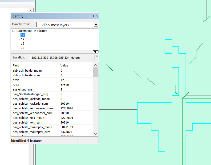
Unfortunately my subcatchments are not 100% precise. Its not an issue for the analyses but might be now. As you can see in the picture the edges are a little off. This seems to leave me with more than one line per catchment with identical ID because there are always little additional river segments (see little identify-window in picture). Any idea how I could/should treat that? Manually delete everything thats smaller than, I dont know, 20 meters?!

