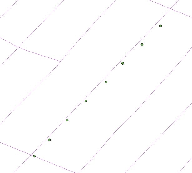
I have some line points representing manholes. I also have line features representing roads. Both of these features are currently living in a PostGIS database. I'd like to automatically move these points to the closest part of the line, so all of the points are arranged in a straight line.
Is there an appropriate PostGIS function that does this? Or, a function in QGIS?
Edit: I've found the "Snap Geometries to Layer" function in QGIS 3.0 works great for this, but I don't want to create another layer with the straightened points, I want to update the geometry of the existing points. Any way around this?

