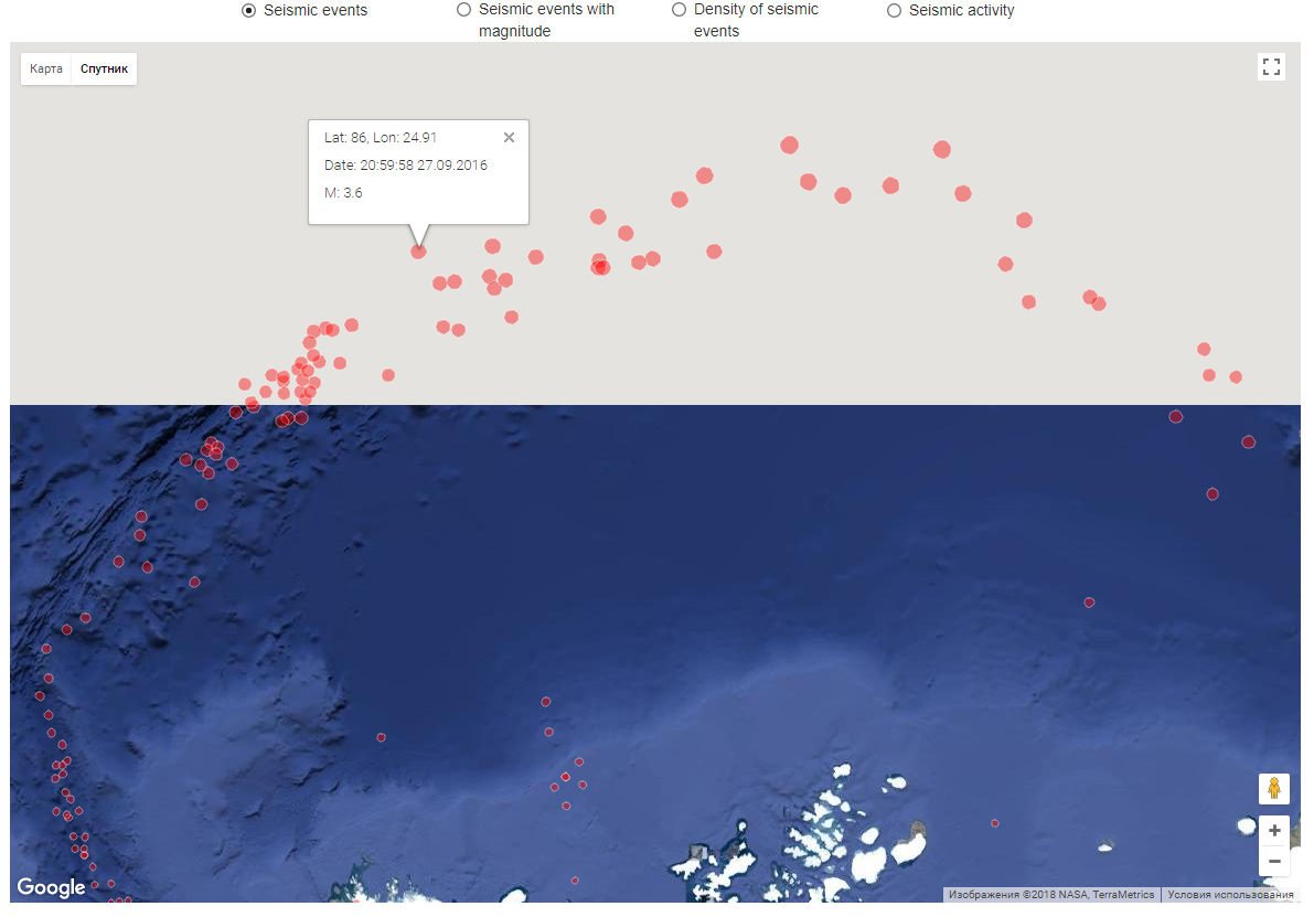
I am developing earthquake visualization web-app for arctic zone using Google Maps JavaScript API. During the development I found Google Maps doesn't display map above approximately N85 degree, if you build Google maps in your site (on their site arctic displays correctly in satellite mode). It's fine if you don't work with arctic.
In my case this is a problem, because I have earthquake data above N85 to display. You can see my current situation on a picture below.
Maybe someone already had same problem and knows certain how to fix it. I tried to set another projection for map (it also fix object distortion problem), but don't find high resolution tile for arctic. Hope there is another solutions.

