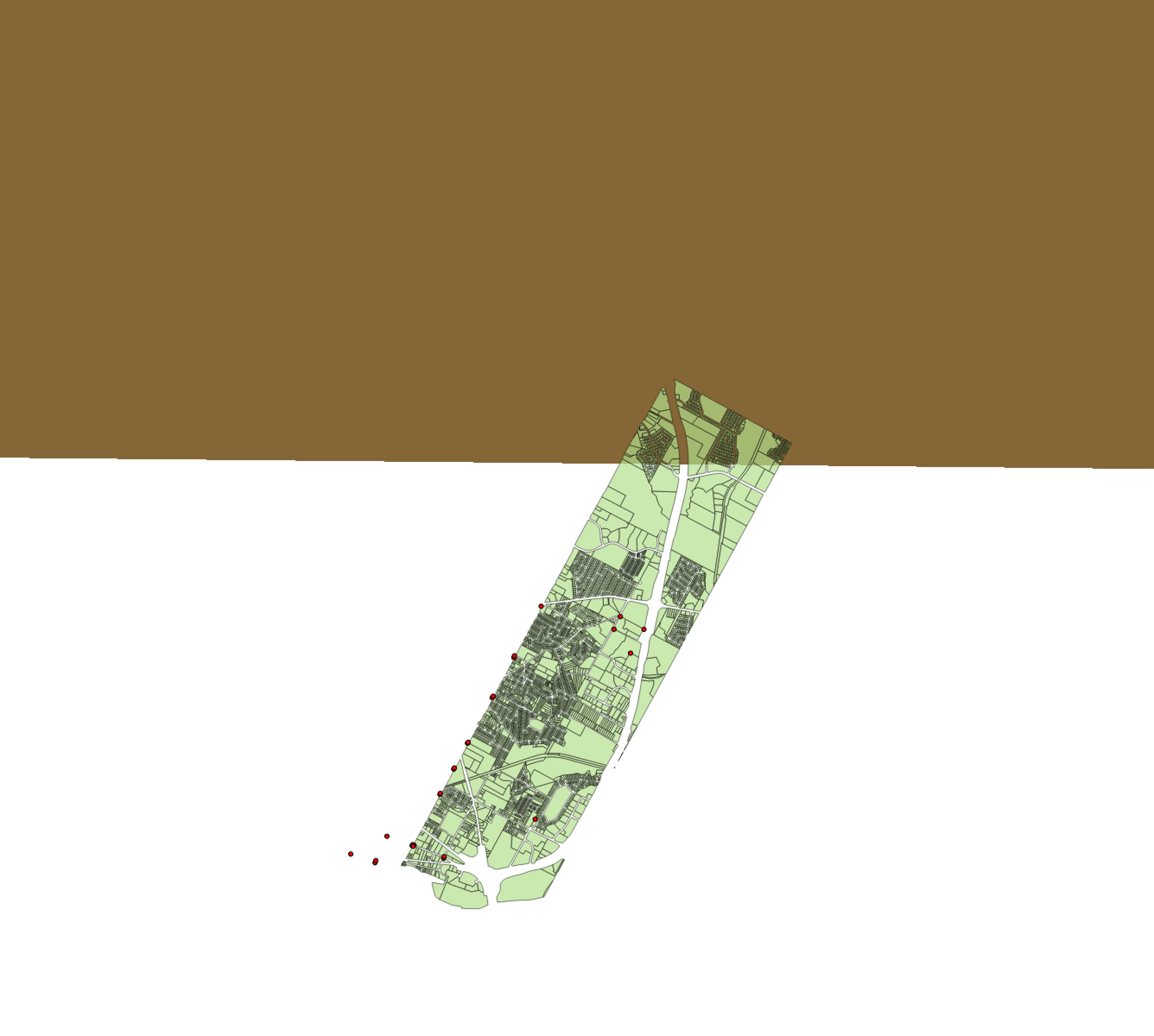
I successfully georeferenced the raster the first time and it loaded correctly in QGIS. Then, I went back to the georeferencer to add more control points to make the overlay look more exact. When I ran the georeferencer again the raster loaded into QGIS but the image was unrecognizable and not where it was supposed to be. 
Is it possible to add more control points to a raster that I've already georeferenced?
In the attached image, the brown space is supposed to be the georeferenced raster that should overlay the parcels on the vector layer
