3

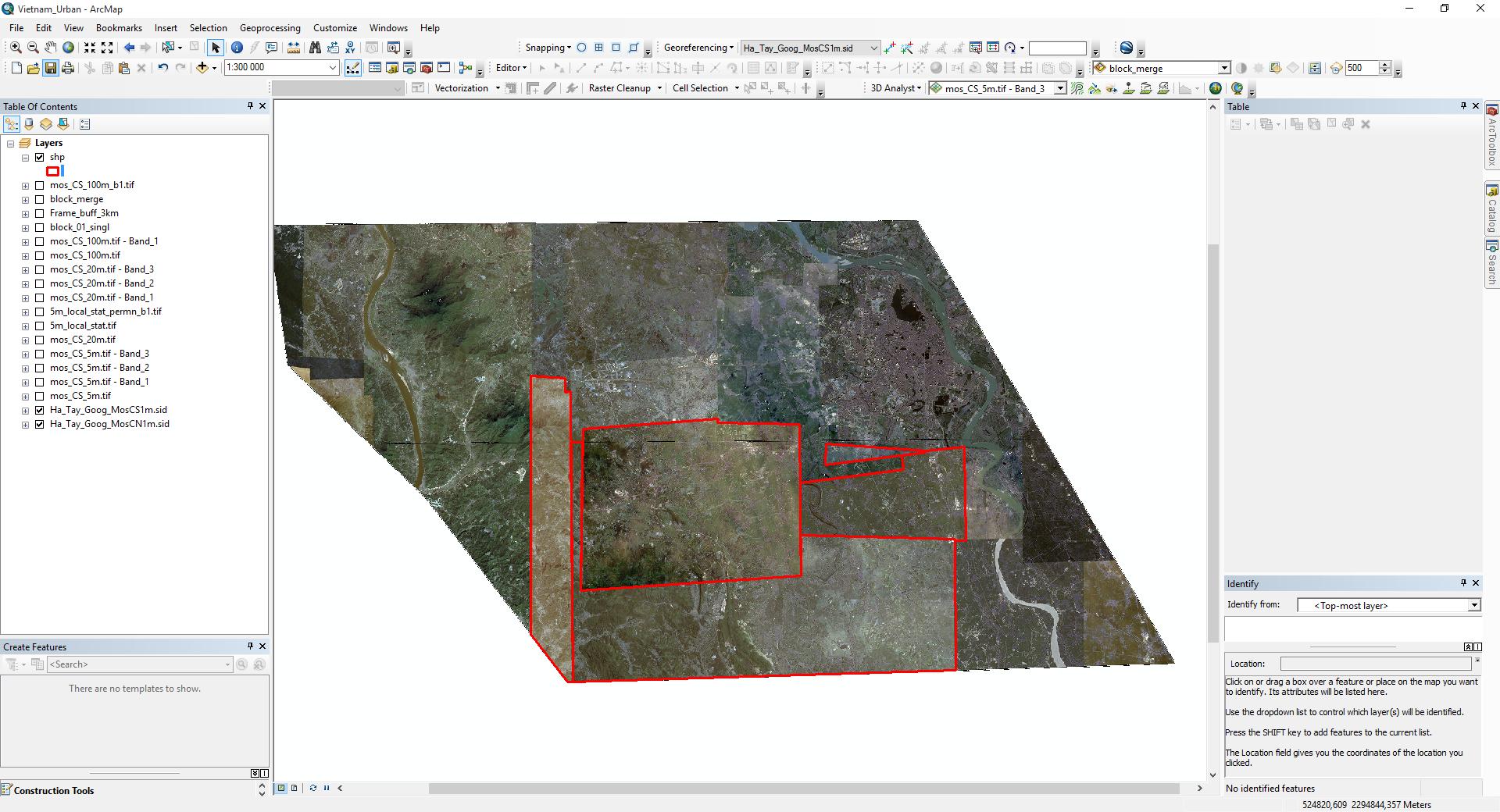
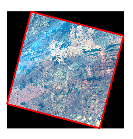
I have a mosaic of satellite images, but for the analysis, I need to define the boundaries of each part. Does anyone know how to do it in an automatic way? I need to get the red boundaries like on the second image but in an automatic way(please do not offer a manual digitization option). enter image description here
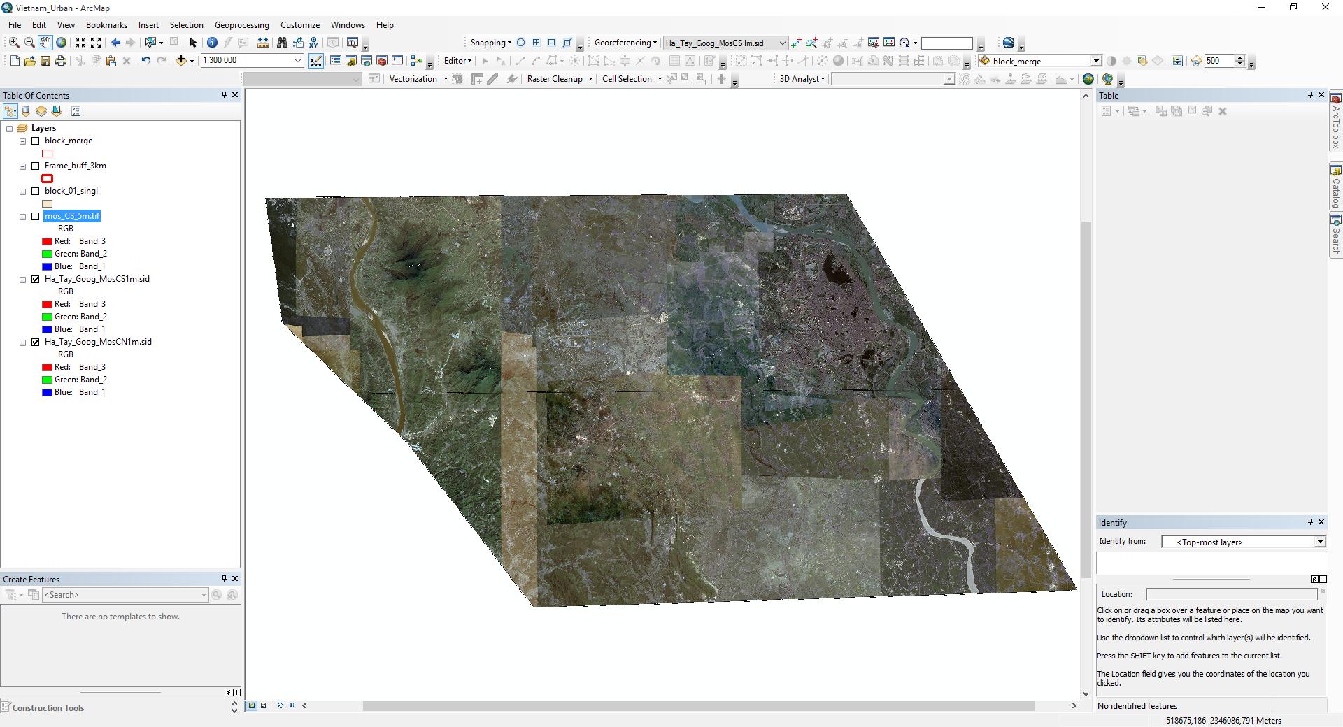
enter image description here

I'm looking for some tool or algorithm that can help to make those boundaries automatically (there's a lot of similar). Maybe some raster processing techniques or should I dig in machine learning?

7
  • No, I mean each different element in each of that three rasters Commented May 30, 2018 at 8:06
  • Do you need a boundary for a whole raster, including "No Data" area, or just footpronts for imaged area?
    – Basile
    Commented May 30, 2018 at 8:11
  • I've clarified my question. Please check it again. Commented May 30, 2018 at 8:28
  • I don't think it is possible if your msaic is already merged composite.
    – Basile
    Commented May 30, 2018 at 10:35
  • 1
    I'm looking for some tool or algorithm that can help to make those boundaries automatically (there's a lot of similar). maybe some raster processing techniques or maybe should I dig in machine learning? Commented May 30, 2018 at 11:36
4 Answers 4

0

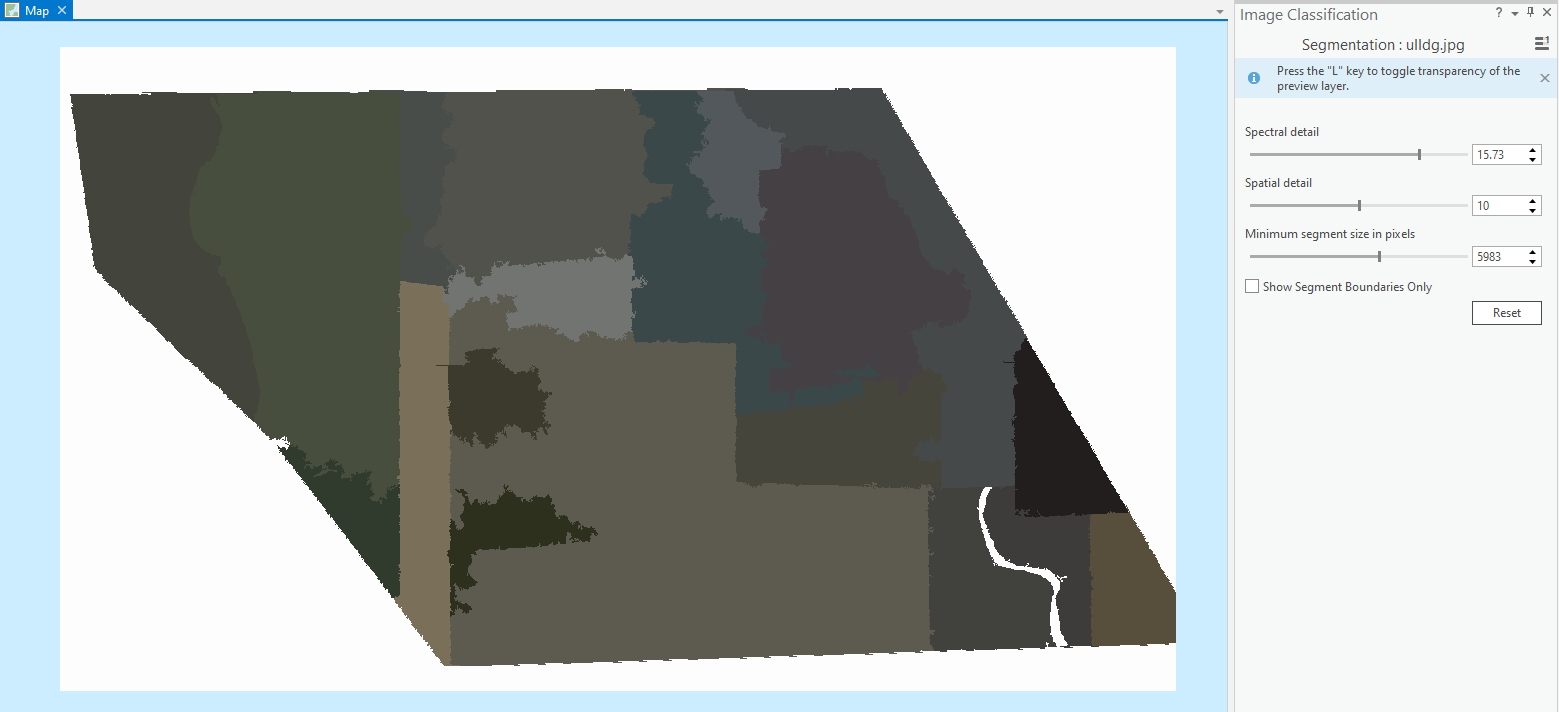
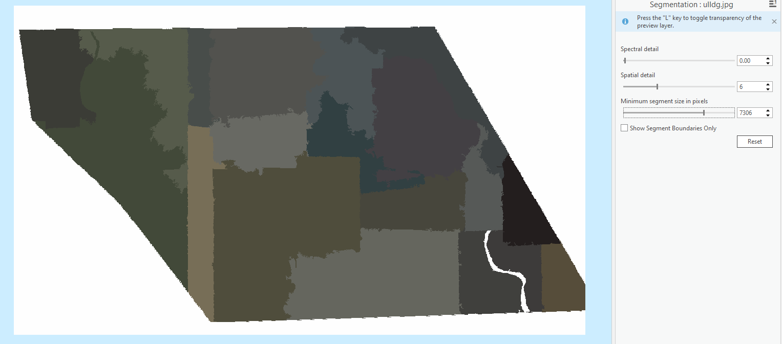
I think you want to split the image divided by those lines, so using spatial information. You can try segmentation of satellite imagery in ArcGIS pro (keeping all its properties an bands information), there you can also define spatial and spectral parameters as per your need.

I tried doing so using your imagery as an image just to try, using different parameters.

enter image description here

enter image description here

I guess you can also control these parameters more accurately by performing segmentation using python.

0

You may try some edge detection filters like this one to automatically highlight the 'edges' caused by sharp tonal variations which are quite apparent in your mosaic.

-1

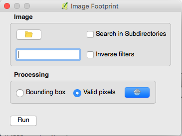
I would recommend the Image Footprint plugin for QGIS. You can point it at a directory of images and it yields a shapefile with polygon boundaries of either valid pixels or bounding boxes of each image in the directory. The plugin also creates useful metadata within the polygon attributes.

enter image description here enter image description here enter image description here

-2

I see you are using ArcMap so:

1- Put all you images in one directory

2- Open ArcCatalog and create a temporary geodatabase

3- Rightclick inside Geodatabase and create a new "Mosaic Dataset" (name it whatever and chose the coordinate same as your images)

4- Than right click in Mosaic created and choose "Add Rasters..."

5- In new dialog table, choose as source the folder which are stored your images. (make sure "Update Boundary" is checked, by default it should be checked) click OK

6- open a blanck arcmap and load this Mosaic Dataset, you will have a layer footprint which contains what you are requesting (also attributes with images name).

4
  • The problem is that I haven't that rasters separately. I only have this mosaic and want to get all the pieces which are parts of it. So it is like an inverse problem. Commented May 30, 2018 at 12:23
  • Take a look here, they say it can be done also with .sid files community.esri.com/thread/92029
    – riflo
    Commented May 30, 2018 at 12:34
  • Thank you, but it seems that they solve another task in that discussion (tiling, not defining the boundaries) Commented May 30, 2018 at 13:04
  • Ok sorry, i thought that the boundaries that you are requesting are different tiles
    – riflo
    Commented May 30, 2018 at 13:16

Your Answer

By clicking “Post Your Answer”, you agree to our terms of service and acknowledge you have read our privacy policy.

Not the answer you're looking for? Browse other questions tagged or ask your own question.