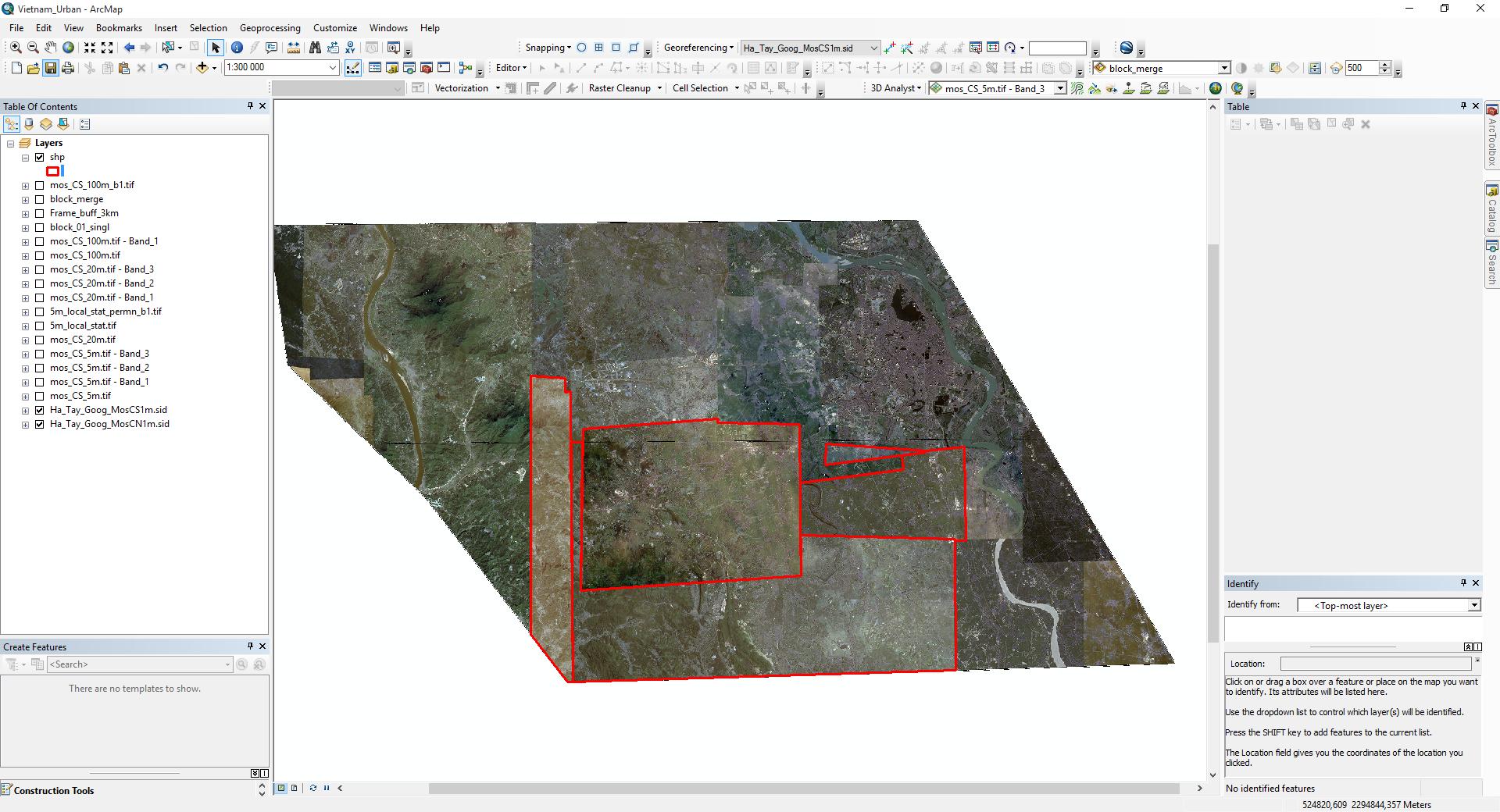
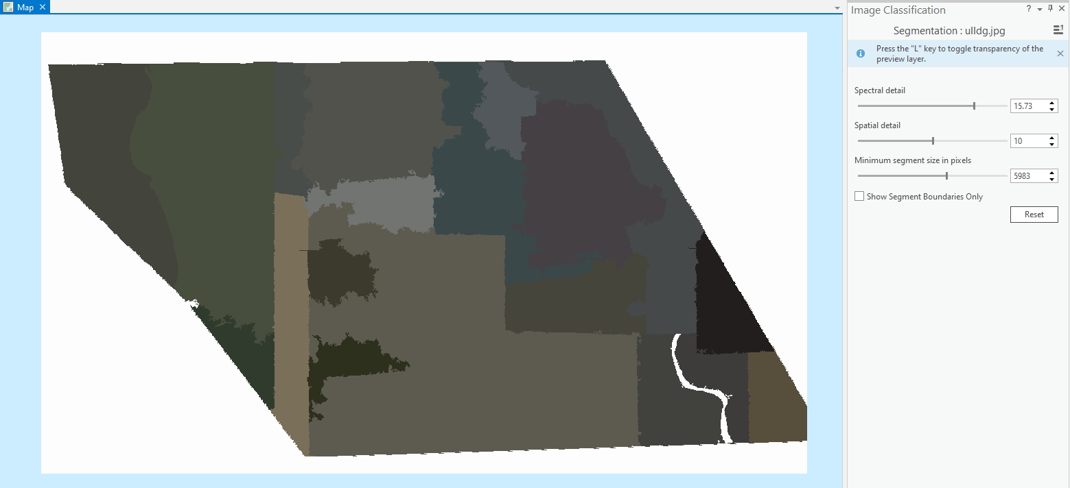
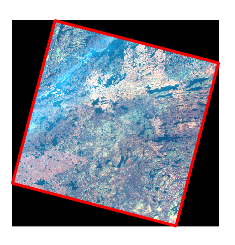
I have a mosaic of satellite images, but for the analysis, I need to define the boundaries of each part. Does anyone know how to do it in an automatic way?
I need to get the red boundaries like on the second image but in an automatic way(please do not offer a manual digitization option).
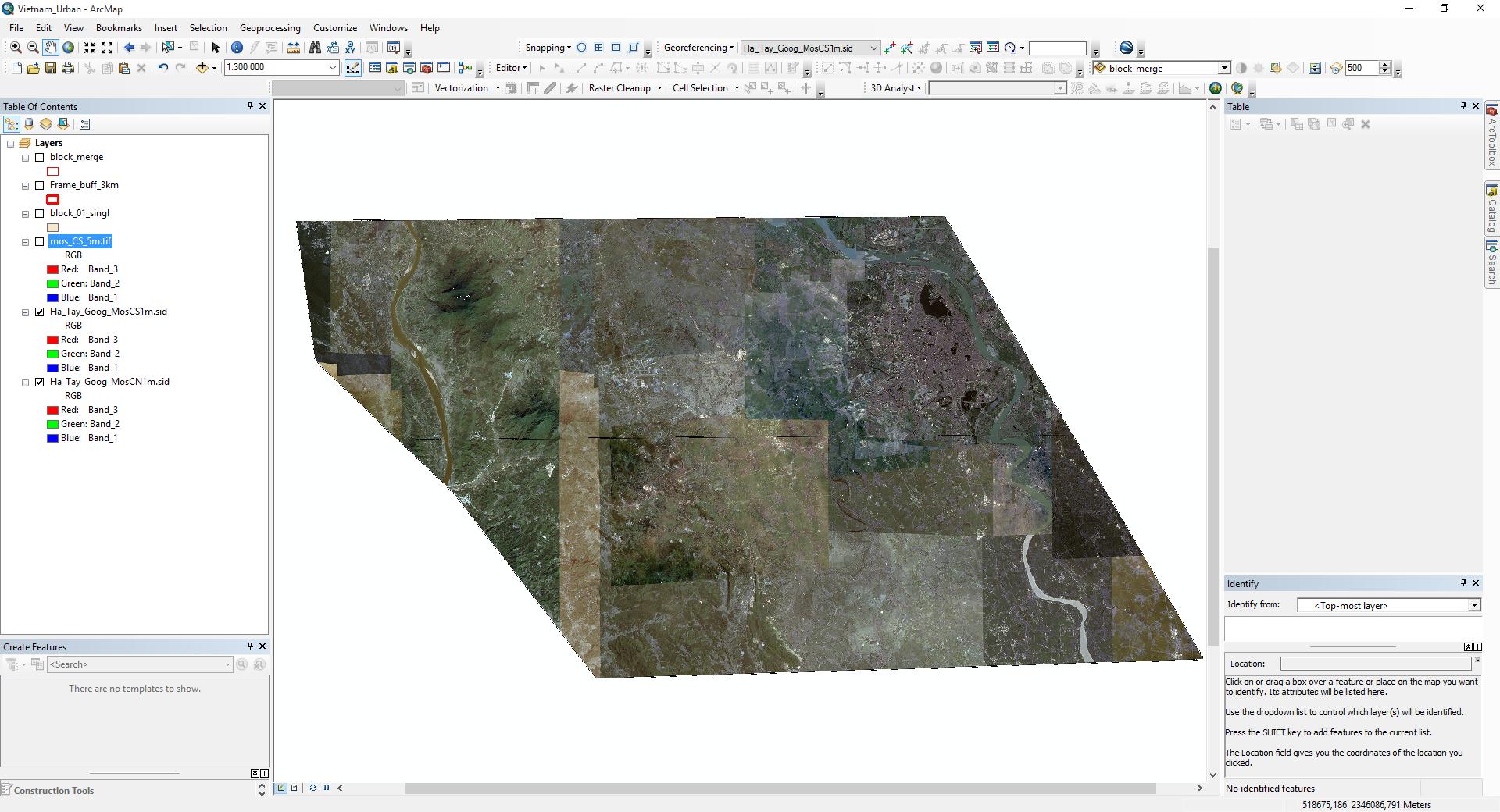
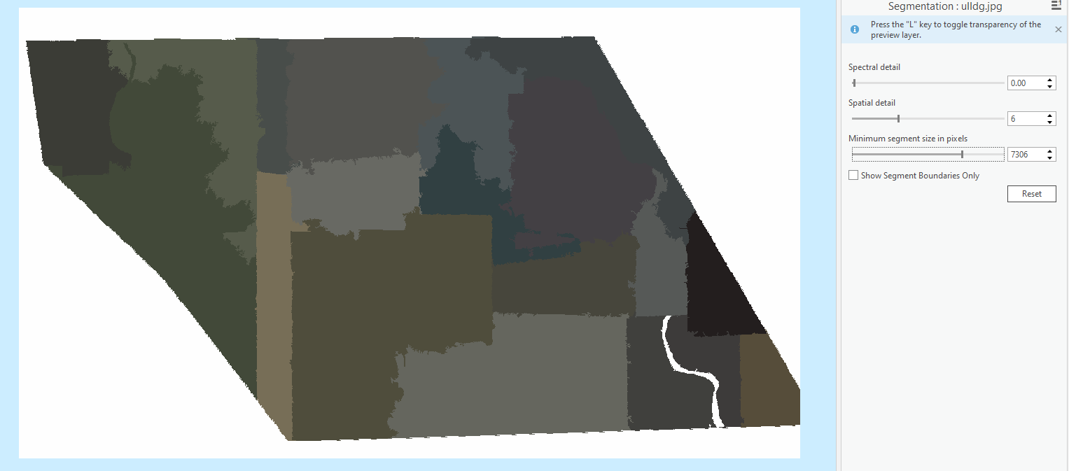
I'm looking for some tool or algorithm that can help to make those boundaries automatically (there's a lot of similar). Maybe some raster processing techniques or should I dig in machine learning?

