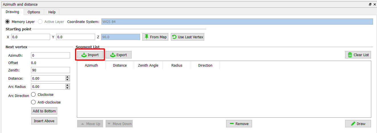
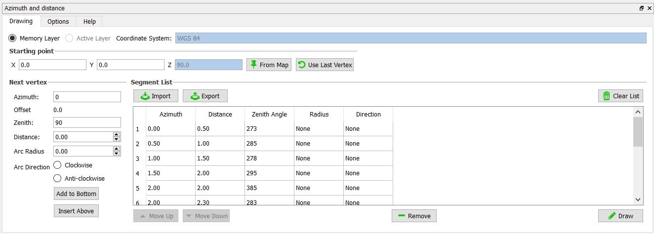
I am trying to draw a polyline from a single reference point. I have each specific segment of the lines Azimuth & distance. In the sequence I have areas where my line shifts over +90 / -90 of the current azimuth and then continues with the next azimuth below. I would like to preferably import these via excel and produce a record in the attribute table where I can see each segments spatial extent so I can take the Easting / Northing from the midpoint and incorporate that into an outside table. I have tried Azimuth and bearing but am having issues with it and I have to create a line for each segment. I tried advanced digitizing tools but the reference angles are from +- 90 N/S and +- 180 E/W which I could convert but seems like a hassle. Wondering if there is an easier way or if I have missed something? Here is an example database.
0.00    0.50    273
0.50    1.00    285
1.00    1.50    278
1.50    2.00    295
2.00    2.00    385 // Offset
2.00    2.30    283
2.30    2.60    283
2.60    3.05    285
3.05    3.55    285
3.55    3.85    270
3.85    4.35    270
4.35    4.75    270
4.75    5.25    270


