2

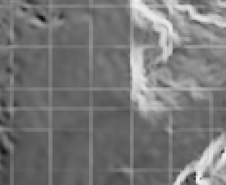
I am trying to make a simple slope map from a DEM (tif). I already tried with the different slope-tools in QGIS (GDAL, SAGA, GRASS) and also the 3D Analyst in ArcMap. Boths bring the same result: a slope map with line shaped artefacts (see pic).

enter image description here

After reading other posts regarding this topic I tried: WARP, (bilinear)RESAMPLING, REPROJECT and changing the DEM from .asc to .tif format. The extention of the DEM is about 4x4 km; the resolution 1x1 m.


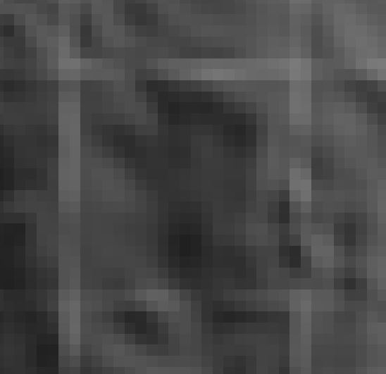
@FelixIP Yes, the conversation is with float. What made you think that it could alter the output? @lambertj The crosshatching is "bigger" than the cell size as you can see in the pics.

enter image description here

enter image description here

3
  • Did you tick FLOAT during conversion to tif?
    – FelixIP
    Commented Aug 15, 2018 at 19:13
  • Does the size of the erroneous crosshatching correspond with your raster cell size?
    – lambertj
    Commented Aug 15, 2018 at 21:24
  • 1
    I doubt this is a problem with the slope algorithms. I have never had it in many years of using these tools. This looks like an underlying data problem possibly as a result of some preprocessing applied to the DEM. The cross-hatching looks very similar to artefacts you get from certain types of wavelet compression (which might have been applied at some point in the data's lifecycle) - or some other pre-processing. To provide any further help, the OP will need to provide some of the original data and some indication of provenance and any other processing steps the OP has applied first. Commented Nov 20, 2019 at 12:38

0

Your Answer

By clicking “Post Your Answer”, you agree to our terms of service and acknowledge you have read our privacy policy.

Browse other questions tagged or ask your own question.